Based on data in OpenStreetMap, here is a list of townlands in the Electoral Division / ED / District Electoral Division of Dunurlin.
Dunurlin ist in der Grafschaft
Dunurlin is not matched up to Logainm.ie yet.
Karte
Befindet sich bei 52° 10' 22" N, 10° 26' 0" W.
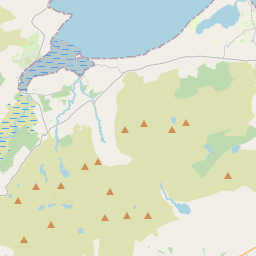
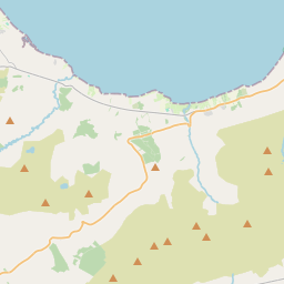
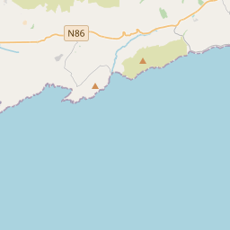
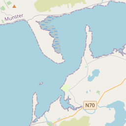
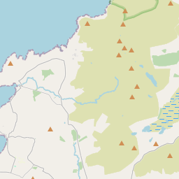
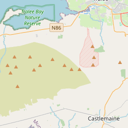
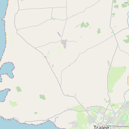
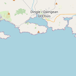
Leaflet | Map data © OpenStreetMap contributors
Fläche
Dunurlin hat eine Fläche von 19,4 km² / 4,802,9 Acres / 7,5 Quadratmeilen.
Townlands
Uns sind 14 Townlands in bekannt. Das entspricht 100% der Fläche in .
- An Baile Uachtarach Thiar 471 A, 0 R, 1 P
- An Baile Uachtarach Thoir 450 A, 1 R, 5 P
- An Ghráig 372 A, 1 R, 7 P
- Ard na Caithne 482 A, 2 R, 24 P
- Ballincolla 394 A, 2 R, 1 P
- Ballyaglisha 191 A, 0 R, 31 P
- Ballyferriter 466 A, 3 R, 13 P
- Caherquin 166 A, 2 R, 24 P
- Cloichear 376 A, 0 R, 22 P
- Cloonties 224 A, 3 R, 38 P
- Fearann Leataoibh 382 A, 0 R, 14 P
- Gortadoo 420 A, 2 R, 33 P
- Gortmore 26 A, 3 R, 2 P
- Tíorabháin 376 A, 2 R, 39 P
 OpenStreetMap
Dunurlin wurde am 21 Jun 2016 von Boggedy bei OpenStreetMap erfasst.
- View
- Edit