Based on data in OpenStreetMap, here is a list of townlands in the Electoral Division / ED / District Electoral Division of Killehenny.
Killehenny ist in der Grafschaft
Killehenny is not matched up to Logainm.ie yet.
Karte
Befindet sich bei 52° 30' 23" N, 9° 39' 10" W.
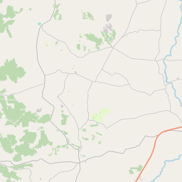
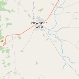
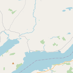
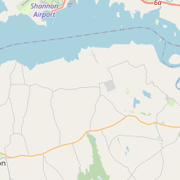
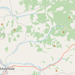
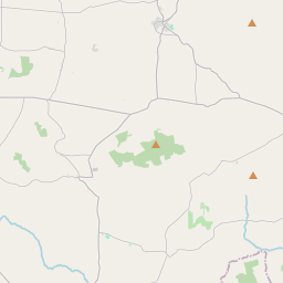
Leaflet | Map data © OpenStreetMap contributors
Fläche
Killehenny hat eine Fläche von 20,2 km² / 4,990,0 Acres / 7,8 Quadratmeilen.
Townlands
Uns sind 15 Townlands in bekannt. Das entspricht 94,0% der Fläche in .
- Ahimma 109 A, 3 R, 2 P
- Ballybunion 369 A, 1 R, 29 P
- Ballyeagh 607 A, 3 R, 14 P
- Barnadarrig 153 A, 3 R, 20 P
- Doon East 440 A, 3 R, 24 P
- Doon West 228 A, 2 R, 33 P
- Dromin 267 A, 3 R, 21 P
- Farranpierce 504 A, 2 R, 30 P
- Gortnaskeha 718 A, 2 R, 34 P
- Gortnaskeha Commons 147 A, 2 R, 17 P
- Killehenny 245 A, 2 R, 23 P
- Kilmulhane 153 A, 3 R, 18 P
- Lahardane 414 A, 0 R, 13 P
- Moohane 127 A, 2 R, 26 P
- Rahoonagh 201 A, 2 R, 33 P
 OpenStreetMap
Killehenny wurde am 7 Jan 2017 von Teester bei OpenStreetMap erfasst.
- View
- Edit