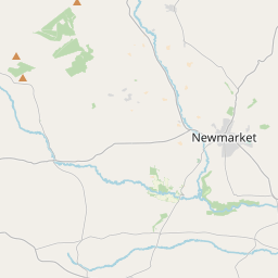
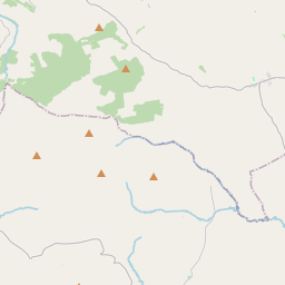
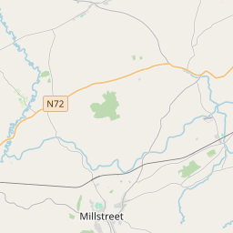
Based on data in OpenStreetMap, here is a list of townlands in the Electoral Division / ED / District Electoral Division of Kilnanare.
Kilnanare ist in der Grafschaft
Kilnanare is not matched up to Logainm.ie yet.
Karte
Befindet sich bei 52° 10' 45" N, 9° 38' 5" W.


Leaflet | Map data © OpenStreetMap contributors
Fläche
Kilnanare hat eine Fläche von 37,1 km² / 9,168,8 Acres / 14,3 Quadratmeilen.
Townlands
Uns sind 25 Townlands in bekannt. Das entspricht 100% der Fläche in .
- Ardwanig 484 A, 0 R, 20 P
- Ballybrack 390 A, 1 R, 18 P
- Ballyfinnane 518 A, 2 R, 10 P
- Breanshagh 139 A, 0 R, 12 P
- Cloonmealane 265 A, 2 R, 7 P
- Coolclieve 177 A, 0 R, 8 P
- Curraghmore East 333 A, 1 R, 11 P
- Curraghmore West 785 A, 0 R, 23 P
- Dromreag 217 A, 0 R, 20 P
- Fieries 254 A, 0 R, 25 P
- Garraun 644 A, 1 R, 14 P
- Gortdromerillagh 407 A, 2 R, 25 P
- Gortnaglogh 199 A, 1 R, 22 P
- Keelties 406 A, 2 R, 32 P
- Kilnanare 386 A, 2 R, 28 P
- Knockaneacoolteen 726 A, 0 R, 2 P
- Knockbrack 706 A, 3 R, 14 P
- Knocknamucklagh 324 A, 1 R, 6 P
- Lecarhoo 338 A, 0 R, 15 P
- Longfield 194 A, 1 R, 11 P
- Mounthenry 135 A, 3 R, 24 P
- Rath Beg 213 A, 2 R, 3 P
- Rath More 238 A, 2 R, 35 P
- Rusheen 423 A, 1 R, 23 P
- Tralia 258 A, 1 R, 35 P
 OpenStreetMap
Kilnanare wurde am 8 Jan 2017 von Teester bei OpenStreetMap erfasst.
- View
- Edit

 JOSM
JOSM iD
iD