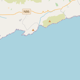
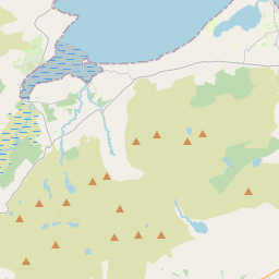
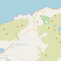
Based on data in OpenStreetMap, here is a list of townlands in the Electoral Division / ED / District Electoral Division of Kinard.
Kinard ist in der Grafschaft
Kinard is not matched up to Logainm.ie yet.
Karte
Befindet sich bei 52° 9' 7" N, 10° 10' 39" W.


Leaflet | Map data © OpenStreetMap contributors
Fläche
Kinard hat eine Fläche von 28,9 km² / 7,150,3 Acres / 11,2 Quadratmeilen.
Townlands
Uns sind 20 Townlands in bekannt. Das entspricht 100% der Fläche in .
- Aghacarrible 146 A, 3 R, 35 P
- Ardamore 447 A, 3 R, 24 P
- Ballineesteenig 309 A, 2 R, 34 P
- Ballingarraun 592 A, 1 R, 39 P
- Ballynahow 65 A, 1 R, 9 P
- Boherbrack 469 A, 3 R, 25 P
- Churchfield 101 A, 3 R, 15 P
- Clooncurra 197 A, 1 R, 3 P
- Deerpark 138 A, 3 R, 20 P
- Emlagh 121 A, 1 R, 18 P
- Foheraghmore 273 A, 0 R, 39 P
- Gowlaneard 485 A, 1 R, 20 P
- Gowlane Beg 671 A, 2 R, 17 P
- Gowlane East 535 A, 3 R, 15 P
- Gowlin 612 A, 1 R, 24 P
- Kinard East 359 A, 3 R, 0 P
- Kinard West 181 A, 0 R, 35 P
- Lisdargan 905 A, 2 R, 30 P
- Reenboy 192 A, 0 R, 37 P
- Tobernamoodane 341 A, 1 R, 4 P
 OpenStreetMap
Kinard wurde am 22 Jun 2016 von Boggedy bei OpenStreetMap erfasst.
- View
- Edit

 JOSM
JOSM iD
iD