Based on data in OpenStreetMap, here is a list of townlands in the Electoral Division / ED / District Electoral Division of Lickeen.
Lickeen ist in der Grafschaft
Lickeen is not matched up to Logainm.ie yet.
Karte
Befindet sich bei 51° 59' 45" N, 9° 55' 1" W.
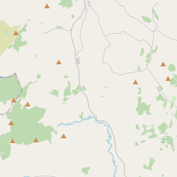
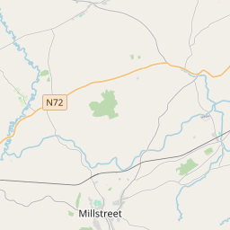
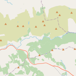
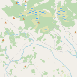
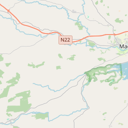
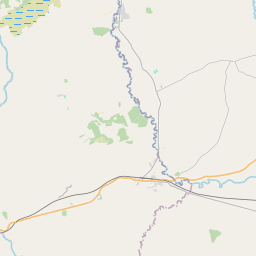
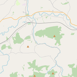
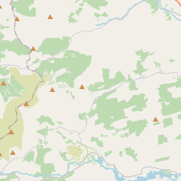
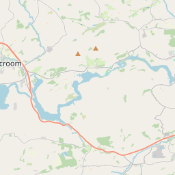
Leaflet | Map data © OpenStreetMap contributors
Fläche
Lickeen hat eine Fläche von 34,9 km² / 8,634,4 Acres / 13,5 Quadratmeilen.
Townlands
Uns sind 14 Townlands in bekannt. Das entspricht 100% der Fläche in .
- Bunglasha North 249 A, 1 R, 28 P
- Bunglasha South 342 A, 0 R, 19 P
- Carriginane 757 A, 1 R, 22 P
- Coomavoon 626 A, 1 R, 14 P
- Cosha South 270 A, 2 R, 31 P
- Creeveen 907 A, 1 R, 30 P
- Derreenanaryagh 1234 A, 1 R, 34 P
- Dreenagh 597 A, 3 R, 4 P
- Drombrane 623 A, 0 R, 34 P
- Drom East 134 A, 3 R, 15 P
- Keel 578 A, 2 R, 36 P
- Lickeen 569 A, 2 R, 26 P
- Neesha 1330 A, 2 R, 33 P
- Toornaneaskagh 411 A, 2 R, 5 P
 OpenStreetMap
Lickeen wurde am 11 Jan 2017 von Teester bei OpenStreetMap erfasst.
- View
- Edit