Based on data in OpenStreetMap, here is a list of townlands in the Electoral Division / ED / District Electoral Division of Máistir Gaoithe.
Máistir Gaoithe ist in der Grafschaft
Máistir Gaoithe is not matched up to Logainm.ie yet.
Karte
Befindet sich bei 51° 52' 1" N, 10° 3' 40" W.
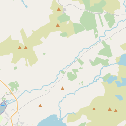
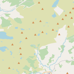
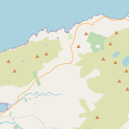
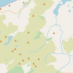
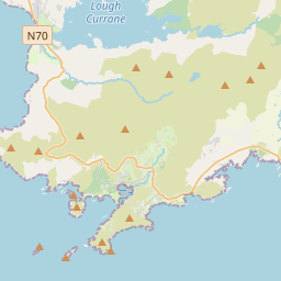
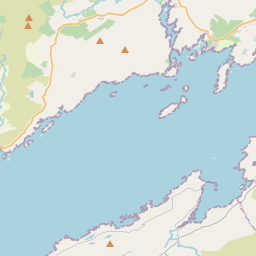
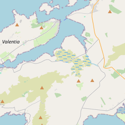
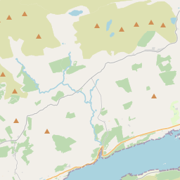
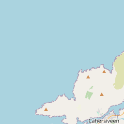
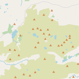
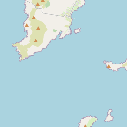
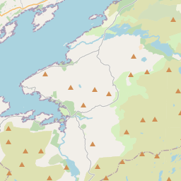
Leaflet | Map data © OpenStreetMap contributors
Fläche
Máistir Gaoithe hat eine Fläche von 30,4 km² / 7,519,4 Acres / 11,7 Quadratmeilen.
Townlands
Uns sind 9 Townlands in bekannt. Das entspricht 100% der Fläche in .
- An Dromaid 429 A, 1 R, 7 P
- Cathair Samháin 619 A, 3 R, 28 P
- Doire an Éadain 1152 A, 1 R, 33 P
- Dúire 791 A, 3 R, 12 P
- Inse na Toinne 333 A, 0 R, 17 P
- Macha Ghrianáin 2135 A, 0 R, 15 P
- Mastergeehy 218 A, 1 R, 21 P
- Na Gearreidhní 790 A, 2 R, 23 P
- Ochtiabh 1048 A, 2 R, 22 P
 OpenStreetMap
Máistir Gaoithe wurde am 11 Jan 2017 von Teester bei OpenStreetMap erfasst.
- View
- Edit