Based on data in OpenStreetMap, here is a list of townlands in the Electoral Division / ED / District Electoral Division of Coolcraheen.
Coolcraheen ist in der Grafschaft
Coolcraheen is not matched up to Logainm.ie yet.
Karte
Befindet sich bei 52° 44' 16" N, 7° 18' 17" W.
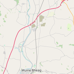
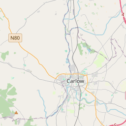

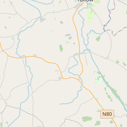
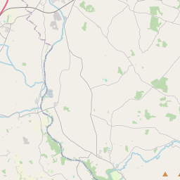
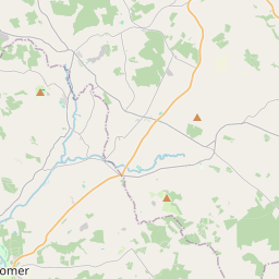
Leaflet | Map data © OpenStreetMap contributors
Fläche
Coolcraheen hat eine Fläche von 21,5 km² / 5,311,9 Acres / 8,3 Quadratmeilen.
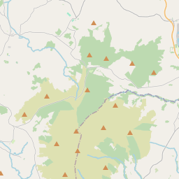
Townlands
Uns sind 17 Townlands in bekannt. Das entspricht 100% der Fläche in .
- Ballyrafton 282 A, 1 R, 28 P
- Brackin 100 A, 2 R, 39 P
- Clintstown 448 A, 3 R, 20 P
- Foulksrath 357 A, 0 R, 23 P
- Gragara 597 A, 1 R, 27 P
- Inchakill Glebe 168 A, 2 R, 35 P
- Inchbeg 253 A, 2 R, 23 P
- Inchmore 349 A, 2 R, 30 P
- Islands 140 A, 2 R, 28 P
- Jenkinstown 719 A, 2 R, 10 P
- Kirwan's Inch 149 A, 2 R, 16 P
- Lismaine 317 A, 0 R, 31 P
- Littlefield 72 A, 2 R, 13 P
- Shanganny 418 A, 0 R, 25 P
- Springhill 82 A, 0 R, 5 P
- Swiftsheath 596 A, 1 R, 10 P
- Tullowglass 257 A, 0 R, 9 P
 OpenStreetMap
Coolcraheen wurde am 23 Aug 2016 von Teester bei OpenStreetMap erfasst.
- View
- Edit