Based on data in OpenStreetMap, here is a list of townlands in the Electoral Division / ED / District Electoral Division of Cullahill.
Cullahill ist in der Grafschaft
Cullahill is not matched up to Logainm.ie yet.
Karte
Befindet sich bei 52° 48' 33" N, 7° 28' 47" W.
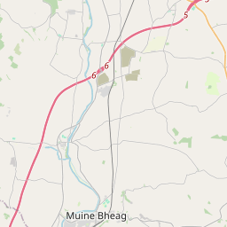

Leaflet | Map data © OpenStreetMap contributors
Fläche
Cullahill hat eine Fläche von 17,0 km² / 4,189,6 Acres / 6,5 Quadratmeilen.
Townlands
Uns sind 13 Townlands in bekannt. Das entspricht 100% der Fläche in .
- Ballynevin 267 A, 0 R, 19 P
- Barrackquarter or Ross 158 A, 3 R, 18 P
- Bunlacken 216 A, 1 R, 32 P
- Castlequarter 133 A, 1 R, 13 P
- Cullahill Mountain 569 A, 2 R, 23 P
- Galesquarter 209 A, 0 R, 17 P
- Gorteennahilla 433 A, 1 R, 18 P
- Oldtown 760 A, 1 R, 18 P
- Parknahown 416 A, 2 R, 33 P
- Raheenleagh 385 A, 1 R, 29 P
- Scrub and Glenmacolla 396 A, 1 R, 9 P
- Shanbally 61 A, 3 R, 20 P
- Spaquarter 180 A, 3 R, 35 P
 OpenStreetMap
Cullahill wurde am 9 Mär 2015 von Teester bei OpenStreetMap erfasst.
- View
- Edit