Based on data in OpenStreetMap, here is a list of townlands in the Electoral Division / ED / District Electoral Division of Kiltyclogher.
Kiltyclogher ist in der Grafschaft
Kiltyclogher is not matched up to Logainm.ie yet.
Karte
Befindet sich bei 54° 20' 4" N, 8° 3' 33" W.
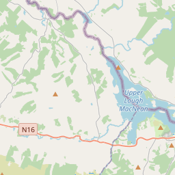
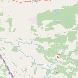
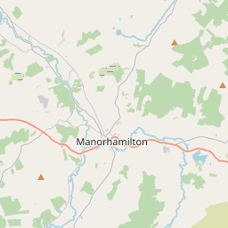
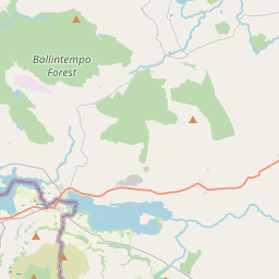
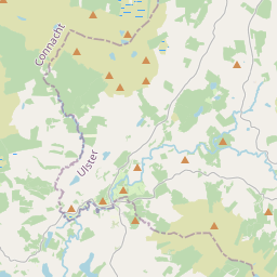
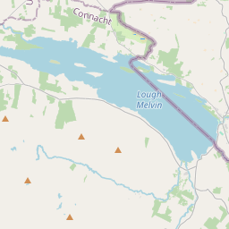
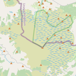
Leaflet | Map data © OpenStreetMap contributors
Fläche
Kiltyclogher hat eine Fläche von 31,7 km² / 7,821,0 Acres / 12,2 Quadratmeilen.
Townlands
Uns sind 13 Townlands in bekannt. Das entspricht 99,8% der Fläche in .
- Aghavanny 490 A, 2 R, 20 P
- Boleyboy 1625 A, 0 R, 0 P
- Carraun 281 A, 3 R, 0 P
- Cashelaveela 303 A, 2 R, 38 P
- Cherrybrook 137 A, 2 R, 31 P
- Corracloona 744 A, 3 R, 20 P
- Glenkeel 316 A, 0 R, 25 P
- Killea 682 A, 3 R, 28 P
- Kiltyclogher 1750 A, 2 R, 14 P
- Lugasnaghta 563 A, 3 R, 4 P
- Sraduffy 258 A, 2 R, 9 P
- Tullintaggart 108 A, 2 R, 36 P
- Tullintloy 543 A, 3 R, 4 P
 OpenStreetMap
Kiltyclogher wurde am 4 Nov 2015 von NoelB bei OpenStreetMap erfasst.
- View
- Edit