Based on data in OpenStreetMap, here is a list of townlands in the Electoral Division / ED / District Electoral Division of Riverstown.
Riverstown ist in der Grafschaft
Riverstown is not matched up to Logainm.ie yet.
Karte
Befindet sich bei 53° 57' 41" N, 7° 48' 58" W.
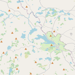
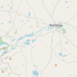
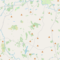
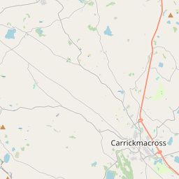
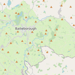
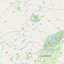
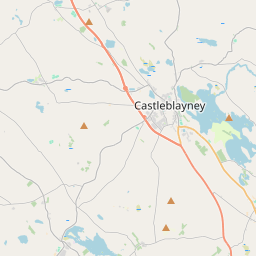
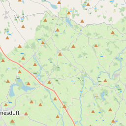
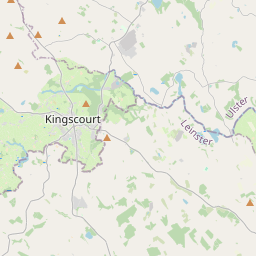
Leaflet | Map data © OpenStreetMap contributors
Fläche
Riverstown hat eine Fläche von 21,8 km² / 5,396,3 Acres / 8,4 Quadratmeilen.
Townlands
Uns sind 15 Townlands in bekannt. Das entspricht 100% der Fläche in .
- Adoon 700 A, 2 R, 5 P
- Annaghmaconway 257 A, 0 R, 20 P
- Cornagher 565 A, 3 R, 38 P
- Cornulla 410 A, 1 R, 20 P
- Drumboher 286 A, 0 R, 8 P
- Drumdarkan 276 A, 3 R, 6 P
- Drumgowla 462 A, 2 R, 26 P
- Drumhallagh 416 A, 2 R, 14 P
- Drumkeilvy 463 A, 3 R, 34 P
- Drumna 242 A, 3 R, 25 P
- Edergole 283 A, 3 R, 23 P
- Gorteenoran 101 A, 3 R, 8 P
- Gortnalougher 281 A, 1 R, 20 P
- Gortnarah 213 A, 1 R, 25 P
- Halls 432 A, 3 R, 8 P
 OpenStreetMap
Riverstown wurde am 1 Aug 2012 von NoelB bei OpenStreetMap erfasst.
- View
- Edit