Based on data in OpenStreetMap, here is a list of townlands in the Electoral Division / ED / District Electoral Division of Claudy.
Claudy ist in der Grafschaft
Claudy is not matched up to Logainm.ie yet.
Karte
Befindet sich bei 54° 54' 28" N, 7° 9' 25" W.
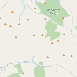
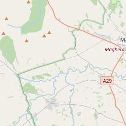
Leaflet | Map data © OpenStreetMap contributors
Fläche
Claudy hat eine Fläche von 21,1 km² / 5,220,1 Acres / 8,2 Quadratmeilen.
Townlands
Uns sind 10 Townlands in bekannt. Das entspricht 100% der Fläche in .
- Barr Cregg 347 A, 3 R, 5 P
- Binn 560 A, 2 R, 6 P
- Claudy 1134 A, 2 R, 35 P
- Cregg 705 A, 2 R, 4 P
- Cumber 361 A, 0 R, 22 P
- Gilky Hill 126 A, 1 R, 37 P
- Lettermuck 586 A, 3 R, 25 P
- Lower Alla 500 A, 2 R, 26 P
- Tullintrain 574 A, 3 R, 17 P
- Upper Alla 321 A, 1 R, 35 P
 OpenStreetMap
Claudy wurde am 5 Mär 2021 von b-unicycling bei OpenStreetMap erfasst.
- View
- Edit