Based on data in OpenStreetMap, here is a list of townlands in the Electoral Division / ED / District Electoral Division of Drumcroon.
Drumcroon ist in der Grafschaft
Drumcroon is not matched up to Logainm.ie yet.
Karte
Befindet sich bei 55° 4' 33" N, 6° 41' 34" W.
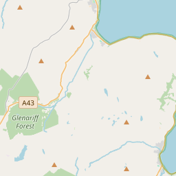
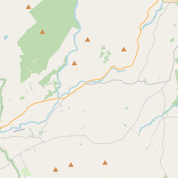

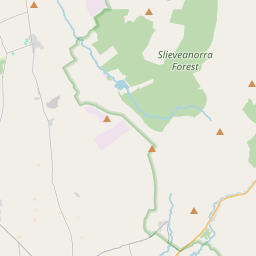

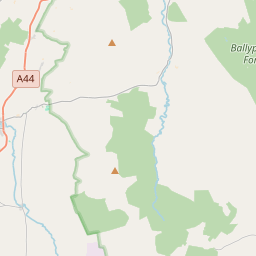
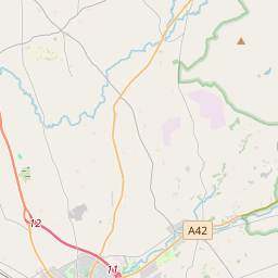

Leaflet | Map data © OpenStreetMap contributors
Fläche
Drumcroon hat eine Fläche von 22,8 km² / 5,645,7 Acres / 8,8 Quadratmeilen.
Townlands
Uns sind 25 Townlands in bekannt. Das entspricht 100% der Fläche in .
- Ardvarness 376 A, 3 R, 21 P
- Ballycaghan 281 A, 3 R, 26 P
- Ballyclough 267 A, 0 R, 24 P
- Ballylintagh 126 A, 3 R, 21 P
- Ballylintagh 123 A, 0 R, 27 P
- Ballyvennox 364 A, 2 R, 16 P
- Ballywilliam 222 A, 1 R, 34 P
- Camus Macosquin Glebe 58 A, 0 R, 7 P
- Clintagh 372 A, 2 R, 2 P
- Collins 279 A, 0 R, 13 P
- Crosscanley Glebe 151 A, 1 R, 3 P
- Crossgare 168 A, 1 R, 10 P
- Culdrum 251 A, 0 R, 22 P
- Culdrum 43 A, 3 R, 9 P
- Derrydorragh 271 A, 3 R, 3 P
- Dromore 274 A, 3 R, 1 P
- Drumcroon 456 A, 2 R, 38 P
- Dunderg 246 A, 2 R, 35 P
- Farranseer 99 A, 1 R, 23 P
- Killeague 215 A, 1 R, 29 P
- Killure 202 A, 0 R, 33 P
- Kinnyglass 319 A, 1 R, 31 P
- Learden 105 A, 3 R, 19 P
- Macleary 345 A, 2 R, 38 P
- Macosquin 20 A, 1 R, 8 P
 OpenStreetMap
Drumcroon wurde am 5 Mär 2021 von b-unicycling bei OpenStreetMap erfasst.
- View
- Edit