Based on data in OpenStreetMap, here is a list of townlands in the Electoral Division / ED / District Electoral Division of Burriscarra.
Burriscarra ist in der Grafschaft
Burriscarra is not matched up to Logainm.ie yet.
Karte
Befindet sich bei 53° 43' 9" N, 9° 12' 58" W.
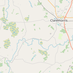
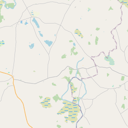
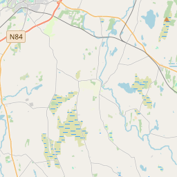
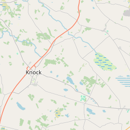

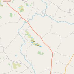
Leaflet | Map data © OpenStreetMap contributors
Fläche
Burriscarra hat eine Fläche von 28,6 km² / 7,063,1 Acres / 11,0 Quadratmeilen.
Townlands
Uns sind 40 Townlands in bekannt. Das entspricht 81,2% der Fläche in .
- Ballycally 817 A, 3 R, 4 P
- Ballycally Island 0 A, 0 R, 27 P
- Ballyglass 171 A, 1 R, 18 P
- Ballynaglea 189 A, 2 R, 25 P
- Burriscarra 262 A, 2 R, 10 P
- Carrowbrack 96 A, 0 R, 26 P
- Carrowlisdooaun 212 A, 2 R, 21 P
- Carrownacon 263 A, 2 R, 16 P
- Carrownagreggaun 152 A, 1 R, 10 P
- Carrownahaltore 34 A, 1 R, 28 P
- Castlecarra 513 A, 3 R, 26 P
- Castle Island 2 A, 0 R, 20 P
- Clooneencarra 59 A, 3 R, 24 P
- Clooneenkillew 173 A, 1 R, 25 P
- Cloonnagoppoge 157 A, 3 R, 9 P
- Conors Island 15 A, 0 R, 8 P
- Deer Island 0 A, 2 R, 13 P
- Deerpark 344 A, 1 R, 26 P
- Derrinrush Island 0 A, 0 R, 6 P
- Drumnashinnagh 227 A, 3 R, 14 P
- Drumrud 138 A, 1 R, 19 P
- Gallgort 74 A, 0 R, 2 P
- Gleneary Island 1 A, 3 R, 27 P
- Hog Island 3 A, 1 R, 13 P
- Horse Island 3 A, 2 R, 20 P
- Kiln Island 0 A, 3 R, 19 P
- Kilskeagh 114 A, 2 R, 23 P
- Knockacurreen 47 A, 1 R, 10 P
- Lawarreen 20 A, 1 R, 30 P
- Moorehall 135 A, 2 R, 18 P
- Otter Island 0 A, 1 R, 3 P
- Priest Island 0 A, 0 R, 38 P
- Raheenduff 87 A, 1 R, 21 P
- Rinaneel 185 A, 3 R, 17 P
- Rooghaun 134 A, 2 R, 34 P
- Stonepark 91 A, 1 R, 11 P
- Stuckeen 184 A, 3 R, 6 P
- Summerhill North 258 A, 1 R, 32 P
- Towerhill Demesne 460 A, 0 R, 31 P
- Whitepark 96 A, 0 R, 14 P
 OpenStreetMap
Burriscarra wurde am 7 Jan 2017 von OscarBrownbread bei OpenStreetMap erfasst.
- View
- Edit