Based on data in OpenStreetMap, here is a list of townlands in the Electoral Division / ED / District Electoral Division of Clogher.
Clogher ist in der Grafschaft
Clogher is not matched up to Logainm.ie yet.
Karte
Befindet sich bei 53° 45' 47" N, 9° 14' 5" W.
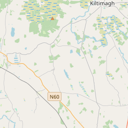
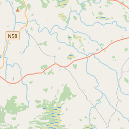
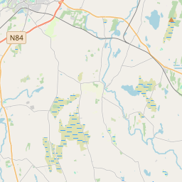
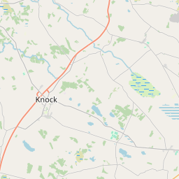
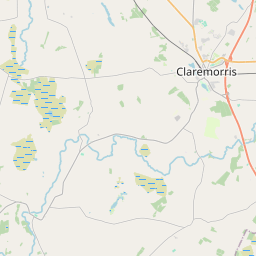
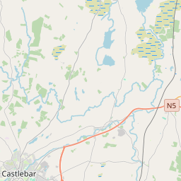
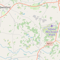
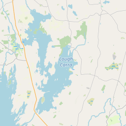
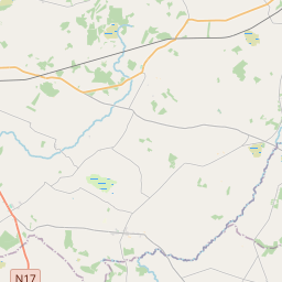
Leaflet | Map data © OpenStreetMap contributors
Fläche
Clogher hat eine Fläche von 20,5 km² / 5,064,8 Acres / 7,9 Quadratmeilen.
Townlands
Uns sind 33 Townlands in bekannt. Das entspricht 97,9% der Fläche in .
- Ballydavock 78 A, 0 R, 35 P
- Bird Island 0 A, 0 R, 17 P
- Burnafaunia 72 A, 2 R, 19 P
- Carrowjames 175 A, 3 R, 22 P
- Carrowkeel 142 A, 2 R, 7 P
- Carrowmore North 277 A, 2 R, 25 P
- Carrowmore South 46 A, 0 R, 20 P
- Cartronstanton 33 A, 3 R, 5 P
- Castleburke 213 A, 1 R, 21 P
- Catfort 169 A, 1 R, 2 P
- Clogher 306 A, 1 R, 3 P
- Cloonboorhy 256 A, 0 R, 32 P
- Corrabaun 159 A, 2 R, 36 P
- Curraghmore 159 A, 3 R, 21 P
- Curry 115 A, 2 R, 18 P
- Doonnamona 76 A, 0 R, 8 P
- Dromore 236 A, 0 R, 4 P
- Drum 209 A, 3 R, 38 P
- Drumcorrabaun 132 A, 0 R, 4 P
- Drumdrishaghaun 147 A, 2 R, 30 P
- Drummeennavaddoge 50 A, 3 R, 6 P
- Fortlawn 46 A, 3 R, 3 P
- Glasgort 309 A, 0 R, 31 P
- Glasmansally 29 A, 3 R, 28 P
- Killeen 101 A, 3 R, 26 P
- Knockboy 172 A, 0 R, 26 P
- Lady's Island 0 A, 0 R, 23 P
- Lisblowick 170 A, 0 R, 14 P
- Lisrobert 174 A, 2 R, 12 P
- Lissalacaun 130 A, 2 R, 12 P
- Newtown 476 A, 3 R, 13 P
- Pollalena 69 A, 3 R, 15 P
- Rusheen 218 A, 3 R, 10 P
 OpenStreetMap
Clogher wurde am 6 Jan 2017 von OscarBrownbread bei OpenStreetMap erfasst.
- View
- Edit