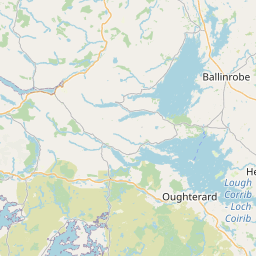
Vollständigkeit der Daten
| Grafschaft | Townlands (ohne Wasser) | Townlands (mit Wasser) | Baronien | Gemeinden | ||||
| Mayo | 100% | 96,79% | 80,70% | 100% | ||||
Flächenabdeckung
Land & Wasser das nicht von Townlands bedeckt ist


Leaflet | Map data © OpenStreetMap contributors
Wie lange wird es dauern bis Mayo erfasst ist?
Land das von 2 (oder mehr) Townlands bedeckt ist
Sometimes lines following borders appear as "overlap". Zooming in may reveal a tiny overlap somewhere along the line. Sometimes these overlaps are necessary e.g. where roads cross waterways.


Leaflet | Map data © OpenStreetMap contributors
Land & Water not covered by Electoral Divisions
Land das von 2 (oder mehr) Wahlbezirken bedeckt ist
No EDs overlap in Mayo in the OpenStreetMap database.
