Based on data in OpenStreetMap, here is a list of townlands in the Electoral Division / ED / District Electoral Division of Kilvine.
Kilvine ist in der Grafschaft
Kilvine is not matched up to Logainm.ie yet.
Karte
Befindet sich bei 53° 40' 12" N, 8° 52' 45" W.
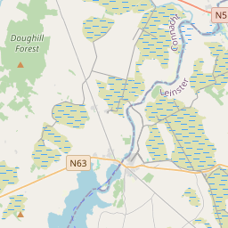
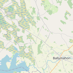
Leaflet | Map data © OpenStreetMap contributors
Fläche
Kilvine hat eine Fläche von 26,7 km² / 6,606,1 Acres / 10,3 Quadratmeilen.
Townlands
Uns sind 19 Townlands in bekannt. Das entspricht 100% der Fläche in .
- Ballinvilla 454 A, 3 R, 25 P
- Boleyboy 549 A, 1 R, 18 P
- Branraduff 229 A, 0 R, 37 P
- Burris 345 A, 1 R, 33 P
- Carrownlough 367 A, 3 R, 33 P
- Castlereagh 308 A, 1 R, 18 P
- Cloonmore 274 A, 0 R, 21 P
- Creevard 224 A, 2 R, 31 P
- Creeveeshel 189 A, 0 R, 15 P
- Crumlin 440 A, 1 R, 0 P
- Doonmacreena 137 A, 3 R, 8 P
- Fallakeeran 213 A, 2 R, 11 P
- Kilvine 989 A, 3 R, 7 P
- Knockadoon 502 A, 1 R, 37 P
- Levallyroe 265 A, 3 R, 31 P
- Lisduff 361 A, 1 R, 28 P
- Meelick 451 A, 0 R, 13 P
- Shanvallyboght 118 A, 0 R, 39 P
- Treannaskehy 182 A, 0 R, 37 P
 OpenStreetMap
Kilvine wurde am 14 Dez 2016 von Boggedy bei OpenStreetMap erfasst.
- View
- Edit