Based on data in OpenStreetMap, here is a list of townlands in the Electoral Division / ED / District Electoral Division of Ballybay Rural.
Ballybay Rural ist in der Grafschaft
Ballybay Rural is not matched up to Logainm.ie yet.
Karte
Befindet sich bei 54° 7' 38" N, 6° 54' 20" W.

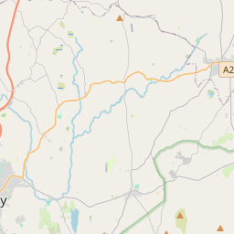
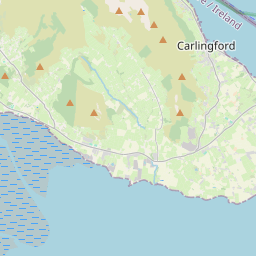
Leaflet | Map data © OpenStreetMap contributors
Fläche
Ballybay Rural hat eine Fläche von 19,0 km² / 4,696,6 Acres / 7,3 Quadratmeilen.
Townlands
Uns sind 19 Townlands in bekannt. Das entspricht 88,4% der Fläche in .
- Acres 77 A, 1 R, 10 P
- Agheralane 211 A, 1 R, 19 P
- Annaneese 190 A, 0 R, 14 P
- Balladian 269 A, 0 R, 21 P
- Corbrack 195 A, 3 R, 13 P
- Corfad 230 A, 3 R, 4 P
- Corkeeran 224 A, 3 R, 9 P
- Corrabofin 183 A, 1 R, 37 P
- Derryvally 235 A, 2 R, 13 P
- Drumar 177 A, 2 R, 36 P
- Drumgrole 287 A, 1 R, 32 P
- Drumhillagh 231 A, 2 R, 36 P
- Drummuck 168 A, 2 R, 36 P
- Edenaneane 247 A, 0 R, 22 P
- Knappagh 201 A, 1 R, 18 P
- Knocknamaddy 344 A, 3 R, 15 P
- Laragh 384 A, 1 R, 18 P
- Monantin 141 A, 2 R, 6 P
- Shantonagh 149 A, 0 R, 29 P
 OpenStreetMap
Ballybay Rural wurde am 16 Feb 2017 von Teester bei OpenStreetMap erfasst.
- View
- Edit