Based on data in OpenStreetMap, here is a list of townlands in the Electoral Division / ED / District Electoral Division of Kilmore.
Kilmore ist in der Grafschaft
Kilmore is not matched up to Logainm.ie yet.
Karte
Befindet sich bei 53° 52' 29" N, 8° 1' 36" W.
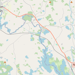
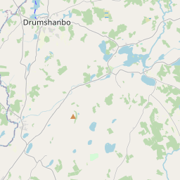
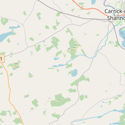
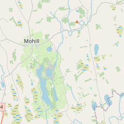
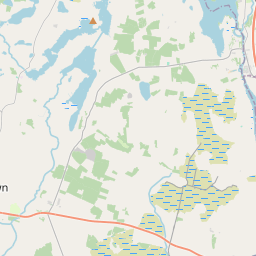
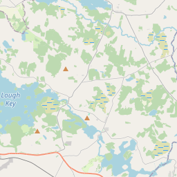
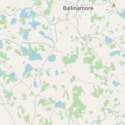
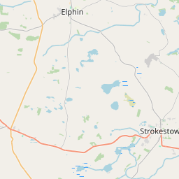
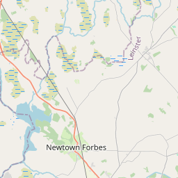
Leaflet | Map data © OpenStreetMap contributors
Fläche
Kilmore hat eine Fläche von 19,1 km² / 4,708,6 Acres / 7,4 Quadratmeilen.
Townlands
Uns sind 24 Townlands in bekannt. Das entspricht 92,2% der Fläche in .
- Annagh 115 A, 0 R, 19 P
- Ardgallagher 166 A, 1 R, 26 P
- Ballycummin 125 A, 1 R, 8 P
- Carrowcuill 182 A, 2 R, 35 P
- Carrowmore 127 A, 3 R, 22 P
- Cartron (Gartland) 257 A, 2 R, 25 P
- Clooncommon Beg 117 A, 0 R, 5 P
- Clooncommon More 337 A, 3 R, 29 P
- Clooncoose 172 A, 0 R, 37 P
- Cloonmeane 129 A, 0 R, 23 P
- Cloonshannagh 63 A, 2 R, 27 P
- Cloonsillagh 231 A, 2 R, 20 P
- Cuiltyshinnoge 238 A, 1 R, 15 P
- Fearagh (Caddell) 228 A, 0 R, 20 P
- Fearagh (Mahon) 277 A, 0 R, 2 P
- Kilcock 93 A, 2 R, 19 P
- Knocknagawna 344 A, 1 R, 22 P
- Meelick 122 A, 3 R, 23 P
- Milltown 133 A, 1 R, 31 P
- Rathnarovanagh 181 A, 0 R, 24 P
- Roo 144 A, 3 R, 15 P
- Rushport 186 A, 0 R, 21 P
- Scrabbagh 109 A, 1 R, 5 P
- Tully 256 A, 1 R, 6 P
 OpenStreetMap
Kilmore wurde am 22 Aug 2015 von NoelB bei OpenStreetMap erfasst.
- View
- Edit