Based on data in OpenStreetMap, here is a list of townlands in the Electoral Division / ED / District Electoral Division of Rathmacurkey.
Rathmacurkey ist in der Grafschaft
Rathmacurkey is not matched up to Logainm.ie yet.
Karte
Befindet sich bei 54° 13' 37" N, 8° 58' 44" W.
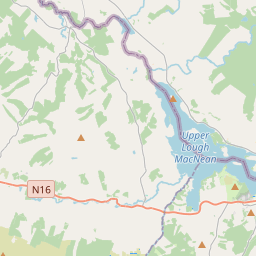
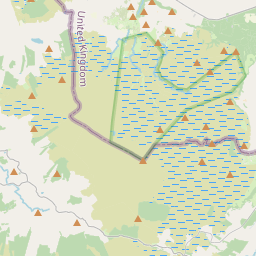
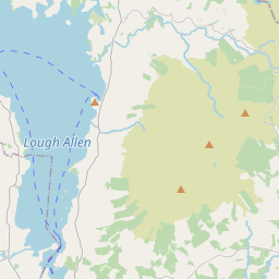
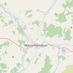
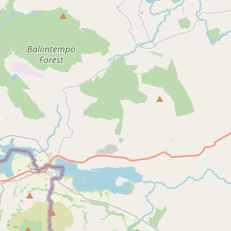
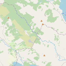
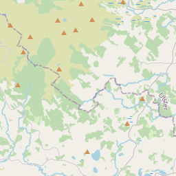
Leaflet | Map data © OpenStreetMap contributors
Fläche
Rathmacurkey hat eine Fläche von 31,8 km² / 7,866,6 Acres / 12,3 Quadratmeilen.
Townlands
Uns sind 7 Townlands in bekannt. Das entspricht 100% der Fläche in .
- Ballyogan 510 A, 0 R, 37 P
- Caltragh 1974 A, 3 R, 7 P
- Cartron 140 A, 0 R, 28 P
- Cooga 1055 A, 3 R, 22 P
- Culleens 2509 A, 0 R, 14 P
- Oghil 205 A, 0 R, 30 P
- Owenbeg 1471 A, 0 R, 38 P
 OpenStreetMap
Rathmacurkey wurde am 17 Aug 2015 von NoelB bei OpenStreetMap erfasst.
- View
- Edit