Based on data in OpenStreetMap, here is a list of townlands in St. Paul's.
St. Paul's ist in den Grafschaften .
St. Paul's is not matched up to Logainm.ie yet.
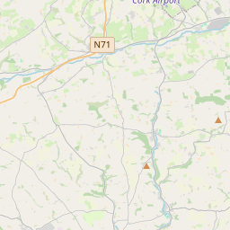
Karte
Befindet sich bei 51° 53' 58" N, 8° 28' 25" W.
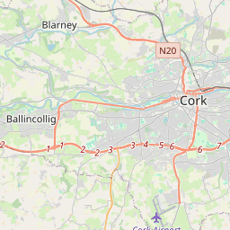
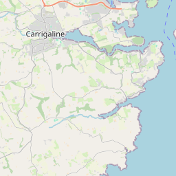
Leaflet | Map data © OpenStreetMap contributors
Fläche
St. Paul's hat eine Fläche von 0,1 km² / 24,8 Acres / 0,0 Quadratmeilen.
Townlands
There are 0 townlands that we know about in St. Paul's. This represents 0% of all the area in St. Paul's.
 OpenStreetMap
St. Paul's wurde am 29 Jan 2018 von PaddyMatthews bei OpenStreetMap erfasst.
- View
- Edit