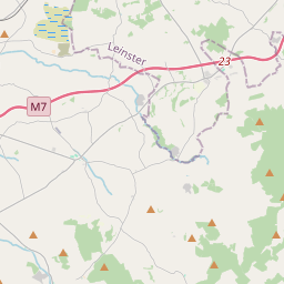
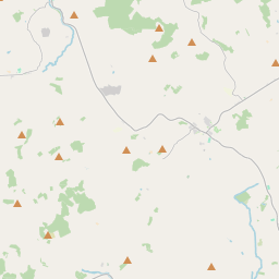
Based on data in OpenStreetMap, here is a list of townlands in the Electoral Division / ED / District Electoral Division of Ballynaclogh.
Ballynaclogh ist in der Grafschaft
Ballynaclogh is not matched up to Logainm.ie yet.
Karte
Befindet sich bei 52° 48' 49" N, 8° 9' 47" W.


Leaflet | Map data © OpenStreetMap contributors
Fläche
Ballynaclogh hat eine Fläche von 23,4 km² / 5,789,7 Acres / 9,0 Quadratmeilen.
Townlands
Uns sind 21 Townlands in bekannt. Das entspricht 100% der Fläche in .
- Ballindigny 107 A, 1 R, 24 P
- Ballinenagh 328 A, 1 R, 36 P
- Ballygasheen 745 A, 1 R, 18 P
- Ballylisheen 205 A, 3 R, 33 P
- Ballynaclogh 1097 A, 1 R, 35 P
- Ballyquiveen 100 A, 2 R, 21 P
- Clonmore 70 A, 3 R, 36 P
- Coolagh 117 A, 2 R, 19 P
- Grallagh 78 A, 0 R, 20 P
- Jordansquarter 85 A, 1 R, 26 P
- Kerane 93 A, 0 R, 30 P
- Kilnashanally 106 A, 3 R, 33 P
- Kilriffet 325 A, 3 R, 33 P
- Knockmeale 142 A, 0 R, 38 P
- Kylebeg 179 A, 1 R, 15 P
- Monaquill 419 A, 3 R, 22 P
- Pollanorman 739 A, 0 R, 10 P
- Sragh 190 A, 2 R, 11 P
- Tooreen 65 A, 3 R, 4 P
- Traverston 294 A, 3 R, 2 P
- Tullamoylin 294 A, 1 R, 29 P
 OpenStreetMap
Ballynaclogh wurde am 9 Dez 2016 von Teester bei OpenStreetMap erfasst.
- View
- Edit

 JOSM
JOSM iD
iD