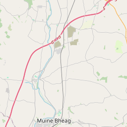
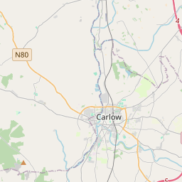
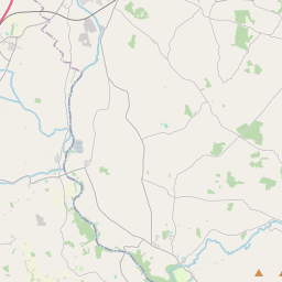
Based on data in OpenStreetMap, here is a list of townlands in the Electoral Division / ED / District Electoral Division of Borrisoleigh.
Borrisoleigh ist in der Grafschaft
Borrisoleigh is not matched up to Logainm.ie yet.
Karte
Befindet sich bei 52° 44' 57" N, 7° 57' 51" W.


Leaflet | Map data © OpenStreetMap contributors
Fläche
Borrisoleigh hat eine Fläche von 22,5 km² / 5,570,2 Acres / 8,7 Quadratmeilen.
Townlands
Uns sind 36 Townlands in bekannt. Das entspricht 100% der Fläche in .
- Aughnaheel 265 A, 2 R, 39 P
- Aughvoleyshane 154 A, 2 R, 9 P
- Ballyroan 79 A, 0 R, 10 P
- Borrisland North 48 A, 0 R, 3 P
- Borrisland South 92 A, 1 R, 6 P
- Cappanilly 18 A, 0 R, 35 P
- Castlequarter 240 A, 2 R, 18 P
- Coolataggle 93 A, 3 R, 37 P
- Coolaun 214 A, 1 R, 12 P
- Coolgort 73 A, 3 R, 19 P
- Curraghcarroll 68 A, 1 R, 25 P
- Curraghfurnisha 46 A, 1 R, 18 P
- Curraghglass 231 A, 3 R, 21 P
- Curraghgraigue 104 A, 2 R, 28 P
- Drumgill 174 A, 3 R, 9 P
- Drumtarsna 140 A, 0 R, 32 P
- Garrane 160 A, 3 R, 37 P
- Gortaniddan 144 A, 1 R, 20 P
- Gorteennabarna 155 A, 3 R, 35 P
- Gorteeny 200 A, 0 R, 25 P
- Gortnacran Beg 38 A, 2 R, 25 P
- Gortnalough 149 A, 0 R, 10 P
- Kilfithmone 90 A, 0 R, 12 P
- Kilfithmone 141 A, 0 R, 1 P
- Killamoyne 261 A, 0 R, 37 P
- Knockanevin 217 A, 2 R, 17 P
- Knockbrack 110 A, 0 R, 3 P
- Knockinure 243 A, 1 R, 16 P
- Knocknaharney 325 A, 1 R, 28 P
- Lismakeeve 121 A, 2 R, 27 P
- Liss 324 A, 0 R, 8 P
- Mountgeorge 25 A, 3 R, 25 P
- Rathcardan 163 A, 0 R, 3 P
- Rathmoy 457 A, 0 R, 19 P
- Shanballycleary 10 A, 1 R, 14 P
- Summerhill 183 A, 0 R, 10 P
 OpenStreetMap
Borrisoleigh wurde am 9 Dez 2016 von Teester bei OpenStreetMap erfasst.
- View
- Edit

 JOSM
JOSM iD
iD