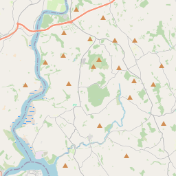
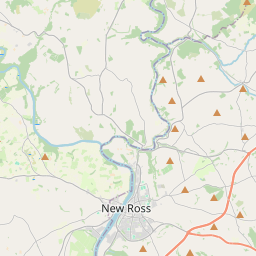
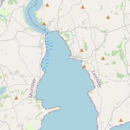
Based on data in OpenStreetMap, here is a list of townlands in the Electoral Division / ED / District Electoral Division of Derrygrath.
Derrygrath ist in der Grafschaft
Derrygrath is not matched up to Logainm.ie yet.
Karte
Befindet sich bei 52° 20' 52" N, 7° 51' 25" W.


Leaflet | Map data © OpenStreetMap contributors
Fläche
Derrygrath hat eine Fläche von 25,3 km² / 6,249,4 Acres / 9,8 Quadratmeilen.
Townlands
Uns sind 26 Townlands in bekannt. Das entspricht 100% der Fläche in .
- Ballindoney 130 A, 0 R, 20 P
- Ballindoney East 9 A, 3 R, 37 P
- Ballindoney West 588 A, 0 R, 5 P
- Ballyhickey 111 A, 0 R, 28 P
- Carragaun 115 A, 1 R, 39 P
- Cloghnacody 353 A, 3 R, 33 P
- Commons-entire East 105 A, 1 R, 7 P
- Commons-entire West 7 A, 2 R, 36 P
- Crutta North 20 A, 3 R, 21 P
- Cuckoohill 139 A, 1 R, 39 P
- Derrygrath Lower 483 A, 1 R, 14 P
- Derrygrath Upper 110 A, 2 R, 31 P
- Edenmore 78 A, 2 R, 10 P
- Feemore 63 A, 2 R, 35 P
- Garryroe 114 A, 0 R, 32 P
- Glennaclohalea 62 A, 2 R, 23 P
- Kilmaloge 706 A, 3 R, 11 P
- Knockinrichard 25 A, 1 R, 1 P
- Lisnamuck 367 A, 0 R, 32 P
- Loughlohery 908 A, 3 R, 1 P
- Marlhill 303 A, 3 R, 38 P
- Nicholastown 426 A, 0 R, 30 P
- Reechestown 201 A, 2 R, 39 P
- Rochestown 635 A, 0 R, 20 P
- Shortcastle 67 A, 2 R, 18 P
- Touloure 111 A, 1 R, 7 P
 OpenStreetMap
Derrygrath wurde am 13 Dez 2016 von Teester bei OpenStreetMap erfasst.
- View
- Edit

 JOSM
JOSM iD
iD