Based on data in OpenStreetMap, here is a list of townlands in the Electoral Division / ED / District Electoral Division of Emly.
Emly ist in der Grafschaft
Emly is not matched up to Logainm.ie yet.
Karte
Befindet sich bei 52° 27' 21" N, 8° 20' 27" W.
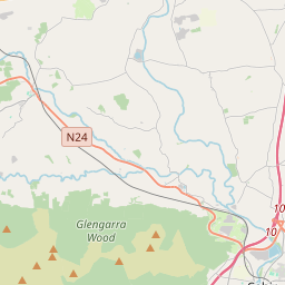

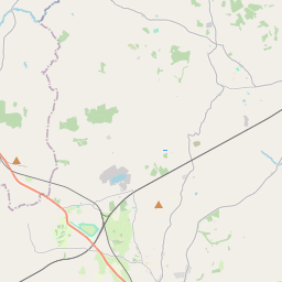
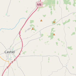
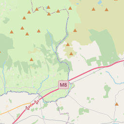
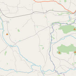
Leaflet | Map data © OpenStreetMap contributors
Fläche
Emly hat eine Fläche von 22,3 km² / 5,503,2 Acres / 8,6 Quadratmeilen.
Townlands
Uns sind 19 Townlands in bekannt. Das entspricht 100% der Fläche in .
- Ardohill 62 A, 2 R, 32 P
- Ballyholahan East 428 A, 2 R, 39 P
- Ballyholahan West 244 A, 2 R, 12 P
- Ballynagrana 415 A, 2 R, 28 P
- Bartoose 380 A, 1 R, 30 P
- Breansha 158 A, 2 R, 39 P
- Clashdrumsmith 319 A, 3 R, 31 P
- Clasheleesha 48 A, 2 R, 32 P
- Coolboy 158 A, 0 R, 30 P
- Drumcomoge 261 A, 0 R, 7 P
- Emly 235 A, 0 R, 11 P
- Farran 57 A, 3 R, 12 P
- Farranasa 172 A, 1 R, 27 P
- Gorteen 231 A, 3 R, 31 P
- Gortvunatrime 87 A, 2 R, 6 P
- Lissobihane 567 A, 3 R, 31 P
- Moanmore 1382 A, 2 R, 14 P
- Nickeres 79 A, 0 R, 37 P
- Tulla 209 A, 3 R, 9 P
 OpenStreetMap
Emly wurde am 14 Dez 2016 von Teester bei OpenStreetMap erfasst.
- View
- Edit