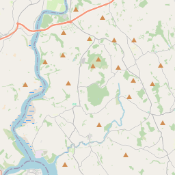
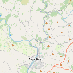
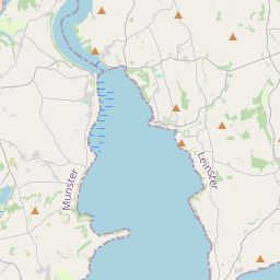
Based on data in OpenStreetMap, here is a list of townlands in the Electoral Division / ED / District Electoral Division of Inishlounaght.
Inishlounaght ist in der Grafschaft
Inishlounaght is not matched up to Logainm.ie yet.
Karte
Befindet sich bei 52° 22' 17" N, 7° 45' 51" W.


Leaflet | Map data © OpenStreetMap contributors
Fläche
Inishlounaght hat eine Fläche von 26,2 km² / 6,479,5 Acres / 10,1 Quadratmeilen.
Townlands
Uns sind 25 Townlands in bekannt. Das entspricht 89,8% der Fläche in .
- Ballingarrane 252 A, 2 R, 4 P
- Ballingarrane North 293 A, 1 R, 6 P
- Ballyhimikin 275 A, 2 R, 8 P
- Ballytarsna 105 A, 2 R, 39 P
- Ballyveelish North 220 A, 3 R, 10 P
- Ballyveelish South 151 A, 1 R, 8 P
- Barn Demense 680 A, 3 R, 30 P
- Brunswick 89 A, 1 R, 34 P
- Chancellorstown Lower 420 A, 0 R, 32 P
- Chancellorstown Upper 312 A, 0 R, 37 P
- Cruboge 10 A, 0 R, 15 P
- Drishoge 109 A, 1 R, 13 P
- Garryroe 55 A, 1 R, 5 P
- Gortmore 33 A, 0 R, 2 P
- Jamestown 286 A, 1 R, 7 P
- Loughtally 448 A, 3 R, 17 P
- Marlfield 527 A, 2 R, 20 P
- Monkstown 106 A, 1 R, 36 P
- Mullaghnoney 120 A, 3 R, 13 P
- Mylerstown 104 A, 0 R, 39 P
- Newchapel 228 A, 3 R, 20 P
- Patrickswell 329 A, 3 R, 18 P
- Rahaniskey 87 A, 1 R, 21 P
- Rathkeevin 485 A, 1 R, 3 P
- Rathnalour 83 A, 0 R, 29 P
 OpenStreetMap
Inishlounaght wurde am 18 Feb 2017 von Teester bei OpenStreetMap erfasst.
- View
- Edit

 JOSM
JOSM iD
iD