Based on data in OpenStreetMap, here is a list of townlands in the Electoral Division / ED / District Electoral Division of Kilcommon.
Kilcommon ist in der Grafschaft
Kilcommon is not matched up to Logainm.ie yet.
Karte
Befindet sich bei 52° 22' 8" N, 7° 57' 32" W.
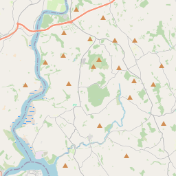
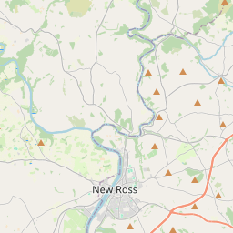
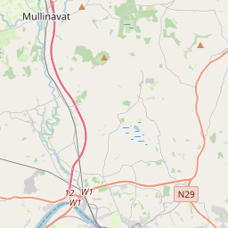
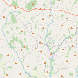
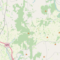
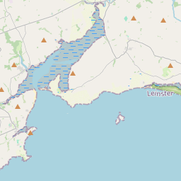
Leaflet | Map data © OpenStreetMap contributors
Fläche
Kilcommon hat eine Fläche von 25,8 km² / 6,384,9 Acres / 10,0 Quadratmeilen.
Townlands
Uns sind 14 Townlands in bekannt. Das entspricht 100% der Fläche in .
- Ballynamona 214 A, 0 R, 14 P
- Caherabbey Lower 433 A, 1 R, 36 P
- Caherabbey Upper 615 A, 1 R, 20 P
- Carrigeen 168 A, 0 R, 16 P
- Clonmore North 389 A, 2 R, 38 P
- Clonmore South 637 A, 2 R, 28 P
- Coolaclamper 161 A, 1 R, 4 P
- Garrycloher 233 A, 0 R, 20 P
- Kilcommon Beg 162 A, 0 R, 7 P
- Kilcommon More (North) 911 A, 2 R, 37 P
- Kilcommon More (South) 433 A, 2 R, 16 P
- Lissava 812 A, 1 R, 28 P
- Monaderreen 648 A, 3 R, 7 P
- Raheen 563 A, 1 R, 20 P
 OpenStreetMap
Kilcommon wurde am 14 Dez 2016 von Teester bei OpenStreetMap erfasst.
- View
- Edit