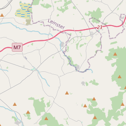
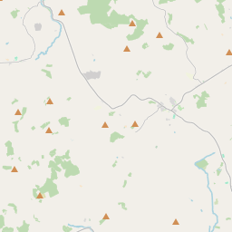
Based on data in OpenStreetMap, here is a list of townlands in the Electoral Division / ED / District Electoral Division of Nenagh Rural.
Nenagh Rural ist in der Grafschaft
Nenagh Rural is not matched up to Logainm.ie yet.
Karte
Befindet sich bei 52° 51' 59" N, 8° 11' 53" W.


Leaflet | Map data © OpenStreetMap contributors
Fläche
Nenagh Rural hat eine Fläche von 34,0 km² / 8,392,1 Acres / 13,1 Quadratmeilen.
Townlands
Uns sind 35 Townlands in bekannt. Das entspricht 82,8% der Fläche in .
- Ballinwear 183 A, 3 R, 1 P
- Ballycommon 351 A, 0 R, 20 P
- Ballygraigue 204 A, 0 R, 36 P
- Ballyhimikin 443 A, 0 R, 24 P
- Ballyvillane 136 A, 0 R, 1 P
- Bawn 145 A, 3 R, 13 P
- Belleen Lower 182 A, 0 R, 9 P
- Belleen Upper 189 A, 2 R, 34 P
- Boolagelagh 65 A, 3 R, 12 P
- Carrigeen 39 A, 2 R, 5 P
- Coolaholloga 141 A, 3 R, 19 P
- Cunnahurt East 56 A, 2 R, 27 P
- Cunnahurt West 141 A, 3 R, 29 P
- Curraheen 127 A, 3 R, 25 P
- Fawnlough 381 A, 0 R, 34 P
- Garraunanearla 83 A, 2 R, 12 P
- Grallagh 318 A, 0 R, 19 P
- Grange Lower 180 A, 2 R, 10 P
- Grange Upper 201 A, 2 R, 1 P
- Islandbawn 124 A, 3 R, 13 P
- Killylaughnane 80 A, 0 R, 3 P
- Knockalton Lower 111 A, 0 R, 17 P
- Knockalton Upper 489 A, 1 R, 38 P
- Kyle 28 A, 3 R, 27 P
- Lissatunny 255 A, 1 R, 28 P
- Moyroe 51 A, 2 R, 5 P
- Rapla 94 A, 3 R, 25 P
- Rapla North 163 A, 2 R, 32 P
- Rathnaleen North 417 A, 1 R, 13 P
- Rathnaleen South 329 A, 1 R, 27 P
- Richmond 351 A, 1 R, 3 P
- Solsborough 149 A, 3 R, 16 P
- Southhill 121 A, 2 R, 21 P
- Tullahedy 567 A, 2 R, 36 P
- Wellington 36 A, 1 R, 1 P
 OpenStreetMap
Nenagh Rural wurde am 14 Dez 2016 von Teester bei OpenStreetMap erfasst.
- View
- Edit

 JOSM
JOSM iD
iD