Based on data in OpenStreetMap, here is a list of townlands in the Electoral Division / ED / District Electoral Division of Rodus.
Rodus ist in der Grafschaft
Rodus is not matched up to Logainm.ie yet.
Karte
Befindet sich bei 52° 28' 56" N, 8° 22' 1" W.
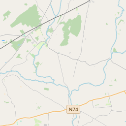
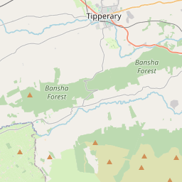

Leaflet | Map data © OpenStreetMap contributors
Fläche
Rodus hat eine Fläche von 17,2 km² / 4,253,0 Acres / 6,6 Quadratmeilen.
Townlands
Uns sind 13 Townlands in bekannt. Das entspricht 100% der Fläche in .
- Ballinvreena 382 A, 1 R, 9 P
- Ballycurrane 331 A, 2 R, 0 P
- Ballyhone 323 A, 0 R, 27 P
- Ballynaveen 414 A, 2 R, 38 P
- Ballyvistea 635 A, 3 R, 32 P
- Chancellorsland 233 A, 0 R, 39 P
- Chantersland 220 A, 2 R, 31 P
- Cloghaready 283 A, 0 R, 25 P
- Duncummin 555 A, 2 R, 25 P
- Gortatemple 29 A, 0 R, 12 P
- Killeennagallive 577 A, 3 R, 26 P
- Knockalegan 180 A, 3 R, 34 P
- Rodus 84 A, 2 R, 10 P
 OpenStreetMap
Rodus wurde am 14 Dez 2016 von Teester bei OpenStreetMap erfasst.
- View
- Edit