Based on data in OpenStreetMap, here is a list of townlands in Ballingly.
Ballingly ist in den Baronien Shelmaliere West.
Ballingly ist in den Grafschaften Wexford.
Ballingly bei Logainm.ie: Ballingly.
Karte
Befindet sich bei 52° 17' 5" N, 6° 43' 43" W.
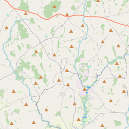
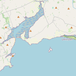
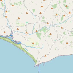
Leaflet | Map data © OpenStreetMap contributors
Fläche
Ballingly hat eine Fläche von 3,1 km² / 759,1 Acres / 1,2 Quadratmeilen.
Townlands
There are 2 townlands that we know about in Ballingly. This represents 100% of all the area in Ballingly.
- Arnestown (Baile Arnais) , Gemeinde Ballingly, Baronie Shelmaliere West, Grafschaft Wexford 293 A, 1 R, 26 P
- Baile Arnais (see Arnestown (Baile Arnais) , Gemeinde Ballingly, Baronie Shelmaliere West, Grafschaft Wexford)
- Baile Inglí (see Ballingly (Baile Inglí) , Gemeinde Ballingly, Baronie Shelmaliere West, Grafschaft Wexford)
- Ballingly (Baile Inglí) , Gemeinde Ballingly, Baronie Shelmaliere West, Grafschaft Wexford 465 A, 2 R, 25 P
 OpenStreetMap
Ballingly wurde am 13 Feb 2014 von brianh bei OpenStreetMap erfasst.
- View
- Edit