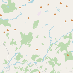
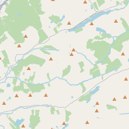
Based on data in OpenStreetMap, here is a list of townlands in the Electoral Division / ED / District Electoral Division of Binbane.
Binbane is in Co.
Binbane is not matched up to Logainm.ie yet.
Map
It is located at 54° 43' 43" N, 8° 12' 55" W.


Leaflet | Map data © OpenStreetMap contributors
Area
Binbane has an area of 47.0 km² / 11,609.2 acres / 18.1 square miles.
Townlands
There are 20 townlands that we know about in . This represents 100% of all the area in .
- Croankeeran 683 A, 3 R, 3 P
- Cronaslieve 534 A, 3 R, 10 P
- Disert 1179 A, 3 R, 1 P
- Drumagraa 525 A, 0 R, 39 P
- Lettermore 541 A, 3 R, 12 P
- Luaghnabrogue 1013 A, 1 R, 29 P
- Meenacahan 486 A, 1 R, 32 P
- Meenacloghspar 285 A, 2 R, 32 P
- Meenagran 982 A, 3 R, 15 P
- Meenaguse Beg 302 A, 1 R, 30 P
- Meenaguse More 743 A, 3 R, 35 P
- Meentacor 299 A, 0 R, 5 P
- Meentacreeghan 406 A, 2 R, 21 P
- Sallows 2478 A, 2 R, 5 P
- Sheskintawy 195 A, 1 R, 20 P
- Tieveachorky 279 A, 1 R, 5 P
- Tullinlough 155 A, 2 R, 17 P
- Tullycumber 254 A, 1 R, 9 P
- Tullynaglack 121 A, 2 R, 10 P
- Tullytrasna 138 A, 2 R, 13 P
 OpenStreetMap
Binbane was added to OpenStreetMap on 26 Jan 2017 by Boggedy.
- View
- Edit

 JOSM
JOSM iD
iD