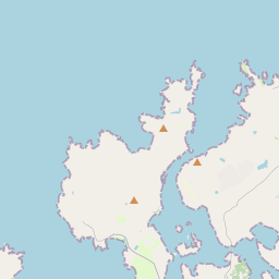
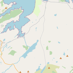
Based on data in OpenStreetMap, here is a list of townlands in the Electoral Division / ED / District Electoral Division of Fanad West.
Fanad West is in Co.
Fanad West is not matched up to Logainm.ie yet.
Map
It is located at 55° 12' 45" N, 7° 44' 55" W.


Leaflet | Map data © OpenStreetMap contributors
Area
Fanad West has an area of 24.1 km² / 5,945.7 acres / 9.3 square miles.
Townlands
There are 24 townlands that we know about in . This represents 100% of all the area in .
- Ballyheerin 299 A, 1 R, 3 P
- Ballyhoorisky 326 A, 1 R, 31 P
- Ballyhoorisky Island 20 A, 0 R, 22 P
- Ballyhork 246 A, 0 R, 1 P
- Cashel Glebe 127 A, 2 R, 9 P
- Clooney and Gortnamona 145 A, 0 R, 28 P
- Doagh More 851 A, 2 R, 28 P
- Doocarrick 100 A, 0 R, 30 P
- Fallaneas 124 A, 3 R, 16 P
- Faltybanes 100 A, 0 R, 1 P
- Ferry Island 0 A, 3 R, 15 P
- Glinsk 619 A, 3 R, 25 P
- Gortnatraw North 289 A, 1 R, 2 P
- Laddan 141 A, 2 R, 6 P
- Leat Beg 742 A, 1 R, 20 P
- Leat More 124 A, 0 R, 6 P
- Lurgacloghan 249 A, 2 R, 8 P
- Muineagh 256 A, 0 R, 16 P
- Seedagh 131 A, 2 R, 20 P
- Sessiagh 113 A, 0 R, 0 P
- Tonbane Glebe 148 A, 3 R, 13 P
- Tully 169 A, 2 R, 13 P
- Tullyconnell 298 A, 0 R, 10 P
- Umrycam 319 A, 2 R, 14 P
 OpenStreetMap
Fanad West was added to OpenStreetMap on 11 Feb 2017 by Boggedy.
- View
- Edit

 JOSM
JOSM iD
iD