Based on data in OpenStreetMap, here is a list of townlands in the Electoral Division / ED / District Electoral Division of Illies.
Illies is in Co.
Illies is not matched up to Logainm.ie yet.
Map
It is located at 55° 10' 3" N, 7° 21' 27" W.
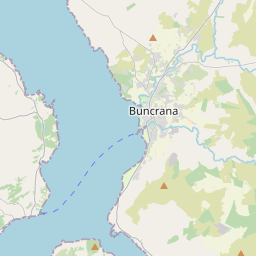
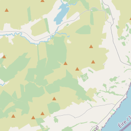
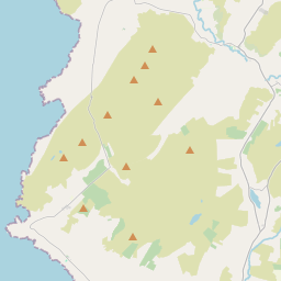
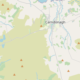
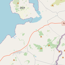
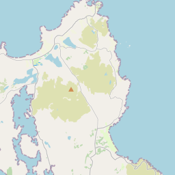
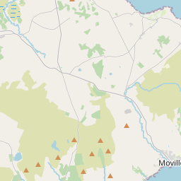
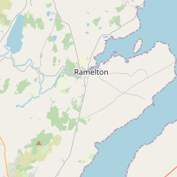
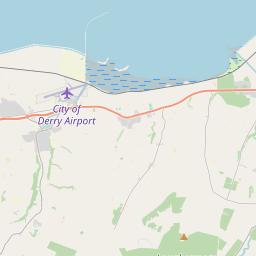
Leaflet | Map data © OpenStreetMap contributors
Area
Illies has an area of 47.0 km² / 11,607.2 acres / 18.1 square miles.
Townlands
There are 13 townlands that we know about in . This represents 100% of all the area in .
- Ballynakeeloge 258 A, 2 R, 39 P
- Cleenagh 369 A, 3 R, 38 P
- Connaghkinnagoe 851 A, 0 R, 14 P
- Druminderry Upper and Lower 625 A, 1 R, 2 P
- Evishbreedy 1064 A, 1 R, 39 P
- Fallask 1014 A, 1 R, 29 P
- Foffanagh 466 A, 2 R, 34 P
- Illies 2304 A, 0 R, 27 P
- Kinnagoe 496 A, 3 R, 20 P
- Meenamullaghan 320 A, 0 R, 33 P
- Meendacalliagh 1436 A, 1 R, 23 P
- Owenboy 2007 A, 0 R, 14 P
- Stranaclea 391 A, 2 R, 33 P
 OpenStreetMap
Illies was added to OpenStreetMap on 16 Feb 2017 by Boggedy.
- View
- Edit