Based on data in OpenStreetMap, here is a list of townlands in the Electoral Division / ED / District Electoral Division of Lettermore.
Lettermore is in Co.
Lettermore is not matched up to Logainm.ie yet.
Map
It is located at 54° 52' 25" N, 7° 49' 26" W.
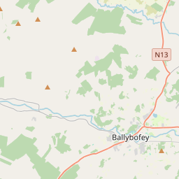
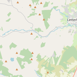
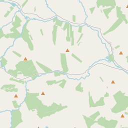
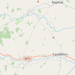
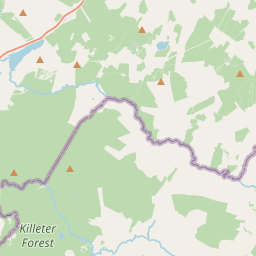
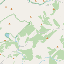
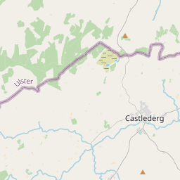
Leaflet | Map data © OpenStreetMap contributors
Area
Lettermore has an area of 39.1 km² / 9,664.6 acres / 15.1 square miles.
Townlands
There are 15 townlands that we know about in . This represents 100% of all the area in .
- Aughkeely 919 A, 0 R, 34 P
- Callan 398 A, 1 R, 3 P
- Callanacor 88 A, 3 R, 31 P
- Cark 2695 A, 0 R, 15 P
- Cloghroe 524 A, 3 R, 16 P
- Drumnacross 130 A, 1 R, 27 P
- Farragans 501 A, 2 R, 34 P
- Legland 312 A, 0 R, 31 P
- Lettermore 604 A, 0 R, 8 P
- Lettershanbo 574 A, 0 R, 10 P
- Magheravall 272 A, 3 R, 21 P
- Meenalaban 563 A, 1 R, 25 P
- Meentycat 1576 A, 2 R, 26 P
- Stroangibbagh 449 A, 2 R, 22 P
- Teangue 53 A, 0 R, 27 P
 OpenStreetMap
Lettermore was added to OpenStreetMap on 12 Feb 2017 by Boggedy.
- View
- Edit