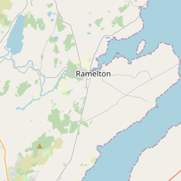
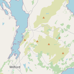
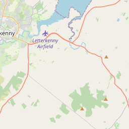
Based on data in OpenStreetMap, here is a list of townlands in the Electoral Division / ED / District Electoral Division of Rathmelton.
Rathmelton is in Co.
Rathmelton is not matched up to Logainm.ie yet.
Map
It is located at 55° 1' 56" N, 7° 38' 13" W.


Leaflet | Map data © OpenStreetMap contributors
Area
Rathmelton has an area of 39.8 km² / 9,826.1 acres / 15.4 square miles.
Townlands
There are 41 townlands that we know about in . This represents 100% of all the area in .
- Aghahull 75 A, 1 R, 36 P
- Aghangaddy Glebe 526 A, 3 R, 19 P
- Ards Big 508 A, 1 R, 4 P
- Ards Little 207 A, 1 R, 2 P
- Aughnish 697 A, 2 R, 17 P
- Aughnish Isle 69 A, 3 R, 0 P
- Ballyboe 69 A, 3 R, 28 P
- Ballybokeel 111 A, 0 R, 14 P
- Ballyelly 92 A, 3 R, 34 P
- Ballygreen 169 A, 0 R, 38 P
- Ballylin 461 A, 1 R, 13 P
- Bayhill 58 A, 3 R, 34 P
- Blacks Glen 172 A, 3 R, 29 P
- Booragh 222 A, 3 R, 35 P
- Breaghy 467 A, 1 R, 36 P
- Bridge End 225 A, 1 R, 15 P
- Carn High 466 A, 0 R, 1 P
- Carnhill 79 A, 2 R, 3 P
- Carnisk 232 A, 2 R, 10 P
- Carn Low 231 A, 2 R, 1 P
- Carrowcashel 295 A, 3 R, 39 P
- Carrygalt 114 A, 0 R, 34 P
- Clooney 367 A, 2 R, 8 P
- Craig's Islands 1 A, 1 R, 31 P
- Croaghan 353 A, 3 R, 8 P
- Farnagh 146 A, 0 R, 7 P
- Fortstewart 125 A, 1 R, 30 P
- Glenleary 324 A, 1 R, 33 P
- Glen Lower 356 A, 3 R, 10 P
- Glen Upper 264 A, 2 R, 11 P
- Gortaway 208 A, 1 R, 27 P
- Kilcreen 208 A, 0 R, 33 P
- Killydonnell 553 A, 0 R, 6 P
- Meenatole 199 A, 0 R, 3 P
- Newmill 289 A, 0 R, 3 P
- Prablin 40 A, 2 R, 0 P
- Rathmelton 544 A, 3 R, 33 P
- Rossreagh 78 A, 3 R, 34 P
- Roughan 73 A, 2 R, 31 P
- Roughpark 73 A, 3 R, 12 P
- Shellfield 58 A, 3 R, 26 P
 OpenStreetMap
Rathmelton was added to OpenStreetMap on 12 Feb 2017 by Boggedy.
- View
- Edit

 JOSM
JOSM iD
iD