Based on data in OpenStreetMap, here is a list of townlands in the Electoral Division / ED / District Electoral Division of Annaclone.
Annaclone is in Co.
Annaclone is not matched up to Logainm.ie yet.
Map
It is located at 54° 18' 20" N, 6° 12' 23" W.
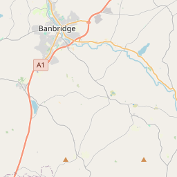

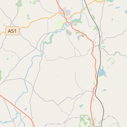
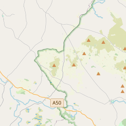
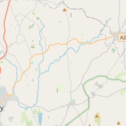
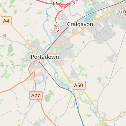
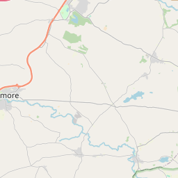
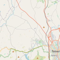
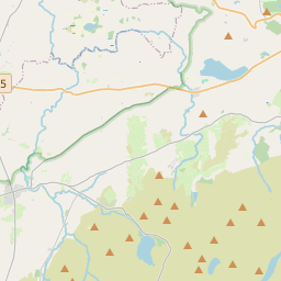
Leaflet | Map data © OpenStreetMap contributors
Area
Annaclone has an area of 26.5 km² / 6,546.4 acres / 10.2 square miles.
Townlands
There are 12 townlands that we know about in . This represents 100% of all the area in .
- Ardbrin 1006 A, 0 R, 6 P
- Aughnacloy 115 A, 0 R, 14 P
- Ballynafern 774 A, 3 R, 35 P
- Ballynafoy 903 A, 1 R, 10 P
- Ballynagross 369 A, 3 R, 18 P
- Ballynanny 539 A, 2 R, 30 P
- Ballysheil 388 A, 3 R, 35 P
- Cappagh 474 A, 3 R, 20 P
- Clay 370 A, 1 R, 4 P
- Derrylough 222 A, 0 R, 10 P
- Lisnasliggan 571 A, 0 R, 25 P
- Tullintanvally 810 A, 0 R, 10 P
 OpenStreetMap
Annaclone was added to OpenStreetMap on 19 Feb 2021 by b-unicycling.
- View
- Edit