Based on data in OpenStreetMap, here is a list of townlands in the Electoral Division / ED / District Electoral Division of Ballyboghil.
Ballyboghil is in Co.
Ballyboghil is not matched up to Logainm.ie yet.
Map
It is located at 53° 31' 27" N, 6° 16' 41" W.
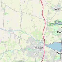
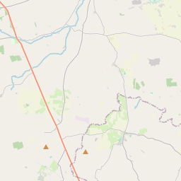
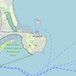
Leaflet | Map data © OpenStreetMap contributors
Area
Ballyboghil has an area of 19.1 km² / 4,712.0 acres / 7.4 square miles.
Townlands
There are 16 townlands that we know about in . This represents 92.8% of all the area in .
- Ballyboghil 438 A, 1 R, 32 P
- Barnanstown 184 A, 1 R, 21 P
- Calliaghstown 129 A, 3 R, 32 P
- Clonswords 58 A, 1 R, 5 P
- Dooroge 200 A, 1 R, 20 P
- Drishoge 306 A, 3 R, 24 P
- Ellistown 219 A, 0 R, 33 P
- Gerrardstown 233 A, 3 R, 33 P
- Grange 435 A, 0 R, 7 P
- Leastown 269 A, 3 R, 31 P
- Mainscourt 322 A, 1 R, 32 P
- Murragh 329 A, 1 R, 19 P
- Newtown (E.D. Ballyboghil) 316 A, 1 R, 25 P
- Roscall 234 A, 3 R, 0 P
- Westpalstown 374 A, 0 R, 9 P
- Wyanstown 321 A, 0 R, 28 P
 OpenStreetMap
Ballyboghil was added to OpenStreetMap on 31 Jul 2021 by brianh.
- View
- Edit