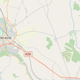
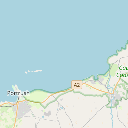
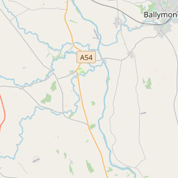
Based on data in OpenStreetMap, here is a list of townlands in the Electoral Division / ED / District Electoral Division of Ballylagan.
We don't know what county Ballylagan is in.
Ballylagan is not matched up to Logainm.ie yet.
Map
It is located at 55° 10' 8" N, 6° 38' 23" W.


Leaflet | Map data © OpenStreetMap contributors
Area
Ballylagan has an area of 18.8 km² / 4,637.5 acres / 7.2 square miles.
Townlands
There are 36 townlands that we know about in . This represents 100% of all the area in .
- Ballyartan 65 A, 2 R, 15 P
- Ballyreagh 210 A, 2 R, 11 P
- Ballywillin Bog 142 A, 3 R, 19 P
- Blagh 214 A, 2 R, 34 P
- Boghill 375 A, 3 R, 28 P
- Carnaboy 162 A, 2 R, 6 P
- Carnalridge 108 A, 0 R, 34 P
- Cloyfin North 163 A, 1 R, 14 P
- Corrstown 21 A, 0 R, 39 P
- Craignahorn 60 A, 3 R, 1 P
- Crossreagh 118 A, 3 R, 20 P
- Danes Hill 72 A, 0 R, 20 P
- Drumadragh 73 A, 2 R, 37 P
- Dundooan 3 A, 1 R, 12 P
- Dundooan 38 A, 3 R, 10 P
- Dundooan 620 A, 2 R, 18 P
- East Ballymaclevennon 189 A, 3 R, 31 P
- Gateside 146 A, 2 R, 10 P
- Glebe 23 A, 3 R, 15 P
- Glenmanus 149 A, 0 R, 27 P
- Inchmearing 125 A, 0 R, 1 P
- Island Flackey 103 A, 3 R, 36 P
- Islandmore Lower 104 A, 0 R, 19 P
- Islandmore Upper 109 A, 1 R, 2 P
- Killygreen Lower 129 A, 0 R, 37 P
- Killygreen Upper 143 A, 1 R, 15 P
- Loguestown 88 A, 0 R, 12 P
- Loguestown 72 A, 0 R, 30 P
- Loughan Hill 28 A, 3 R, 18 P
- Magheraboy 97 A, 1 R, 16 P
- Magheramenagh 23 A, 2 R, 31 P
- Magheramenagh 67 A, 0 R, 38 P
- North Ballylagan 112 A, 0 R, 16 P
- Slimag 161 A, 1 R, 10 P
- South Ballylagan 138 A, 1 R, 30 P
- West Ballymaclevennon 170 A, 1 R, 34 P
 OpenStreetMap
Ballylagan was added to OpenStreetMap on 5 Mar 2021 by b-unicycling.
- View
- Edit

 JOSM
JOSM iD
iD