Based on data in OpenStreetMap, here is a list of townlands in the Electoral Division / ED / District Electoral Division of Ballybot.
We don't know what county Ballybot is in.
Ballybot is not matched up to Logainm.ie yet.
Map
It is located at 54° 9' 40" N, 6° 20' 53" W.
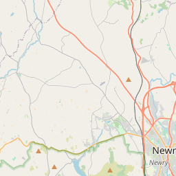
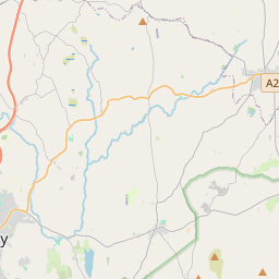
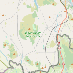
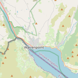
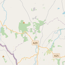
Leaflet | Map data © OpenStreetMap contributors
Area
Ballybot has an area of 20.9 km² / 5,159.4 acres / 8.1 square miles.
Townlands
There are 15 townlands that we know about in . This represents 98.0% of all the area in .
- Altnaveigh 483 A, 2 R, 34 P
- Ballinlare 129 A, 3 R, 37 P
- Carnagat 209 A, 0 R, 10 P
- Carnbane 186 A, 2 R, 39 P
- Carrivekeeny 186 A, 1 R, 17 P
- Cloghoge 323 A, 2 R, 31 P
- Corrinshigo 398 A, 3 R, 30 P
- Derry Beg 368 A, 1 R, 20 P
- Derry More 325 A, 3 R, 1 P
- Drumalane 221 A, 0 R, 39 P
- Fathom Lower 727 A, 2 R, 39 P
- Fathom Upper 832 A, 0 R, 21 P
- Lisdrumgullion 351 A, 3 R, 23 P
- Lisdrumliska 47 A, 2 R, 3 P
- Lisdrumliska 262 A, 0 R, 5 P
 OpenStreetMap
Ballybot was added to OpenStreetMap on 22 Feb 2021 by b-unicycling.
- View
- Edit