Based on data in OpenStreetMap, here is a list of townlands in the Electoral Division / ED / District Electoral Division of Ballintemple.
Ballintemple is in Co.
Ballintemple is not matched up to Logainm.ie yet.
Map
It is located at 52° 45' 0" N, 6° 41' 16" W.
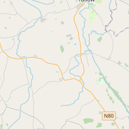
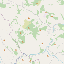
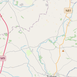
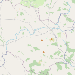
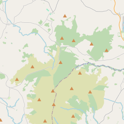
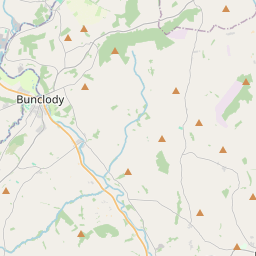
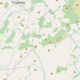
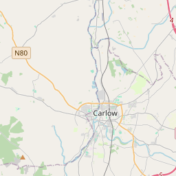
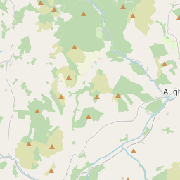
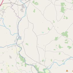
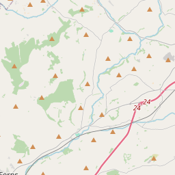
Leaflet | Map data © OpenStreetMap contributors
Area
Ballintemple has an area of 28.3 km² / 7,000.4 acres / 10.9 square miles.
Townlands
There are 16 townlands that we know about in . This represents 100% of all the area in .
- Ardattin 199 A, 2 R, 20 P
- Ballinastraw 298 A, 3 R, 28 P
- Ballintemple 965 A, 3 R, 28 P
- Ballynoe 577 A, 3 R, 11 P
- Broomville 237 A, 0 R, 38 P
- Coolroe 557 A, 1 R, 13 P
- Craans 776 A, 2 R, 14 P
- Kilgraney 79 A, 1 R, 8 P
- Kilgraney 249 A, 0 R, 38 P
- Knocknatubbrid 304 A, 2 R, 0 P
- Leany 865 A, 2 R, 27 P
- Newstown 649 A, 1 R, 16 P
- Orchard 410 A, 3 R, 12 P
- Ratheeragh 206 A, 3 R, 18 P
- Rathvarrin 432 A, 0 R, 22 P
- Woodlands 189 A, 0 R, 3 P
 OpenStreetMap
Ballintemple was added to OpenStreetMap on 26 Aug 2016 by Teester.
- View
- Edit