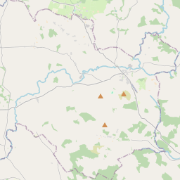
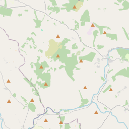
Based on data in OpenStreetMap, here is a list of townlands in the Electoral Division / ED / District Electoral Division of Hacketstown.
Hacketstown is in Co.
Hacketstown is not matched up to Logainm.ie yet.
Map
It is located at 52° 52' 1" N, 6° 33' 38" W.


Leaflet | Map data © OpenStreetMap contributors
Area
Hacketstown has an area of 22.1 km² / 5,456.9 acres / 8.5 square miles.
Townlands
There are 23 townlands that we know about in . This represents 100% of all the area in .
- Ballyedmond 417 A, 1 R, 18 P
- Ballykillane 281 A, 2 R, 38 P
- Ballysallagh Lower 320 A, 1 R, 16 P
- Ballysallagh Upper 359 A, 1 R, 19 P
- Blindennis 90 A, 2 R, 16 P
- Borough 165 A, 0 R, 22 P
- Brownbog 209 A, 1 R, 26 P
- Constable Hill 351 A, 3 R, 6 P
- Curragh 115 A, 0 R, 28 P
- Drumguin 251 A, 3 R, 33 P
- Eaglehill 152 A, 2 R, 35 P
- Hacketstown Lower 190 A, 2 R, 26 P
- Hacketstown Upper 77 A, 1 R, 15 P
- Kilconnaught 135 A, 1 R, 28 P
- Kilmacart 289 A, 2 R, 32 P
- Monastill 91 A, 0 R, 17 P
- Porchavodda 92 A, 0 R, 9 P
- Rathnafushoge 257 A, 1 R, 26 P
- Rathnagrew Lower 224 A, 3 R, 33 P
- Rathnagrew Upper 379 A, 3 R, 18 P
- Scotland 181 A, 1 R, 16 P
- Tombeagh 703 A, 0 R, 8 P
- Woodside 118 A, 1 R, 7 P
 OpenStreetMap
Hacketstown was added to OpenStreetMap on 2 Aug 2012 by NoelB.
- View
- Edit

 JOSM
JOSM iD
iD