Based on data in OpenStreetMap, here is a list of townlands in the Electoral Division / ED / District Electoral Division of Derreen.
Derreen is in Co.
Derreen is not matched up to Logainm.ie yet.
Map
It is located at 53° 4' 55" N, 9° 17' 46" W.
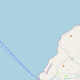
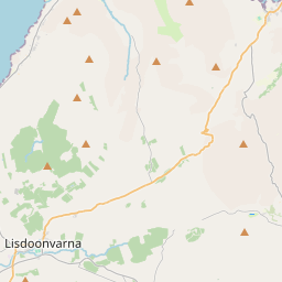

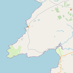
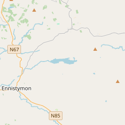


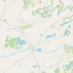
Leaflet | Map data © OpenStreetMap contributors
Area
Derreen has an area of 19.0 km² / 4,692.7 acres / 7.3 square miles.
Townlands
There are 14 townlands that we know about in . This represents 100% of all the area in .
- Balliny North 229 A, 2 R, 37 P
- Balliny South 208 A, 0 R, 10 P
- Ballyelly 539 A, 3 R, 19 P
- Blakesmountain 634 A, 0 R, 21 P
- Coolmeen 187 A, 1 R, 10 P
- Craggagh 224 A, 1 R, 8 P
- Crumlin 985 A, 0 R, 13 P
- Derreen East 102 A, 2 R, 38 P
- Derreen South 211 A, 1 R, 9 P
- Derreen West 359 A, 1 R, 13 P
- Fanore Beg 51 A, 3 R, 23 P
- Faunarooska 232 A, 0 R, 33 P
- Knockaunsmountain 574 A, 1 R, 32 P
- Liscoonera 152 A, 0 R, 34 P
 OpenStreetMap
Derreen was added to OpenStreetMap on 16 Dec 2016 by Teester.
- View
- Edit