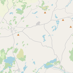
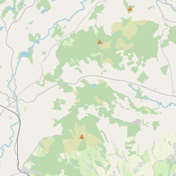
Based on data in OpenStreetMap, here is a list of townlands in the Electoral Division / ED / District Electoral Division of Tulla.
Tulla is in Co.
Tulla is not matched up to Logainm.ie yet.
Map
It is located at 52° 52' 20" N, 8° 44' 42" W.


Leaflet | Map data © OpenStreetMap contributors
Area
Tulla has an area of 19.5 km² / 4,823.8 acres / 7.5 square miles.
Townlands
There are 22 townlands that we know about in . This represents 100% of all the area in .
- Bunavory 159 A, 0 R, 39 P
- Cloghaun 74 A, 2 R, 5 P
- Cloondanagh 326 A, 3 R, 3 P
- Cloonteen 135 A, 2 R, 14 P
- Cragroe 394 A, 0 R, 13 P
- Cutteen Beg 105 A, 1 R, 13 P
- Cutteen More 171 A, 1 R, 28 P
- Doonaun 143 A, 3 R, 22 P
- Drummaghmartin 158 A, 0 R, 24 P
- Fortane Beg 473 A, 1 R, 39 P
- Furhee 65 A, 1 R, 38 P
- Garrubagh 848 A, 0 R, 26 P
- Gorteennaguppoge 105 A, 2 R, 19 P
- Kilboggoon 158 A, 3 R, 14 P
- Knockadoon 134 A, 2 R, 15 P
- Knockdrumleague 81 A, 0 R, 1 P
- Loughan South 37 A, 0 R, 11 P
- Maryfort or Lismeehan 300 A, 1 R, 21 P
- Milltown 465 A, 2 R, 14 P
- Poulaforia 121 A, 1 R, 26 P
- Rine 69 A, 2 R, 37 P
- Tulla 293 A, 1 R, 14 P
 OpenStreetMap
Tulla was added to OpenStreetMap on 18 Dec 2016 by Teester.
- View
- Edit

 JOSM
JOSM iD
iD