Based on data in OpenStreetMap, here is a list of townlands in the Electoral Division / ED / District Electoral Division of Ballymartle.
Ballymartle is in Co.
Ballymartle is not matched up to Logainm.ie yet.
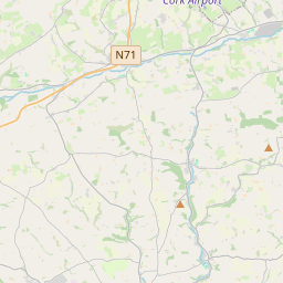
Map
It is located at 51° 46' 54" N, 8° 31' 19" W.


Leaflet | Map data © OpenStreetMap contributors
Area
Ballymartle has an area of 26.3 km² / 6,499.5 acres / 10.2 square miles.
Townlands
There are 20 townlands that we know about in . This represents 100% of all the area in .
- Arlinstown 417 A, 3 R, 29 P
- Ballinaboy 1149 A, 0 R, 3 P
- Ballindresrough 73 A, 1 R, 14 P
- Ballintober 251 A, 0 R, 12 P
- Ballymartle 321 A, 2 R, 38 P
- Ballynabearna 533 A, 2 R, 4 P
- Coolkirky 521 A, 3 R, 28 P
- Corruragh 340 A, 3 R, 34 P
- Curra 145 A, 1 R, 36 P
- Dooneen North 102 A, 0 R, 28 P
- Dooneen South 149 A, 3 R, 10 P
- Durah 146 A, 0 R, 2 P
- Fahanalooscane 537 A, 1 R, 17 P
- Garravesoge 325 A, 0 R, 37 P
- Knocklucy 378 A, 3 R, 26 P
- Lisfehill 302 A, 1 R, 10 P
- Mill Land 57 A, 3 R, 38 P
- Mullagh 214 A, 2 R, 0 P
- Scart 220 A, 2 R, 18 P
- Shanavally 309 A, 2 R, 7 P
 OpenStreetMap
Ballymartle was added to OpenStreetMap on 28 Jan 2017 by Teester.
- View
- Edit

 JOSM
JOSM iD
iD