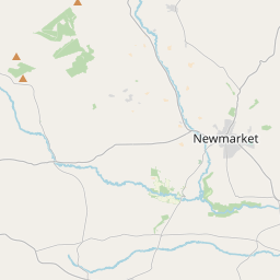
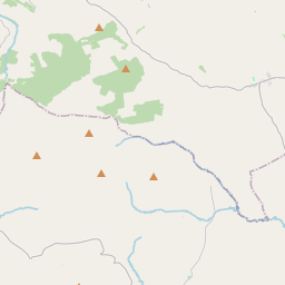
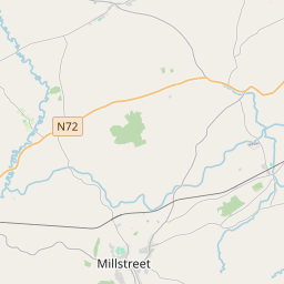
Based on data in OpenStreetMap, here is a list of townlands in the Electoral Division / ED / District Electoral Division of Boherboy.
Boherboy is in Co.
Boherboy is not matched up to Logainm.ie yet.
Map
It is located at 52° 10' 17" N, 9° 5' 32" W.


Leaflet | Map data © OpenStreetMap contributors
Area
Boherboy has an area of 22.2 km² / 5,486.6 acres / 8.6 square miles.
Townlands
There are 21 townlands that we know about in . This represents 100% of all the area in .
- Acres 158 A, 0 R, 9 P
- Bawnaneel 163 A, 1 R, 24 P
- Dromskarragh Beg 166 A, 3 R, 37 P
- Dromskarragh More 282 A, 2 R, 15 P
- Glantaunmacarthy 135 A, 3 R, 1 P
- Gneeves 413 A, 3 R, 1 P
- Gortateeboy 177 A, 2 R, 27 P
- Islandav 347 A, 2 R, 37 P
- Keel 208 A, 1 R, 9 P
- Kilnahulla Beg 171 A, 1 R, 10 P
- Kilnahulla More 407 A, 2 R, 33 P
- Kippagh 153 A, 0 R, 22 P
- Knockeenacurrig East 185 A, 1 R, 19 P
- Knockeenacurrig West 283 A, 2 R, 35 P
- Knocklagh 286 A, 0 R, 8 P
- Knocknacurragh 382 A, 3 R, 35 P
- Laharan East 271 A, 3 R, 4 P
- Laharan West 191 A, 2 R, 12 P
- Rea-allen 290 A, 2 R, 38 P
- Tooreenavuscaun 388 A, 1 R, 8 P
- Urraghil Beg 419 A, 2 R, 22 P
 OpenStreetMap
Boherboy was added to OpenStreetMap on 21 Jan 2017 by Teester.
- View
- Edit

 JOSM
JOSM iD
iD