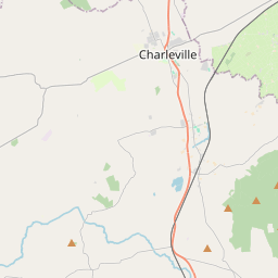
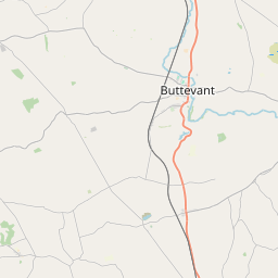
Based on data in OpenStreetMap, here is a list of townlands in the Electoral Division / ED / District Electoral Division of Churchtown.
Churchtown is in Co.
Churchtown is not matched up to Logainm.ie yet.
Map
It is located at 52° 15' 59" N, 8° 43' 40" W.


Leaflet | Map data © OpenStreetMap contributors
Area
Churchtown has an area of 39.7 km² / 9,819.7 acres / 15.3 square miles.
Townlands
There are 42 townlands that we know about in . This represents 100% of all the area in .
- Aghaburren 218 A, 0 R, 29 P
- Annagh Bogs 269 A, 0 R, 29 P
- Annagh North 533 A, 3 R, 12 P
- Annagh South 193 A, 0 R, 10 P
- Ballincurrig 337 A, 3 R, 30 P
- Ballinguile 352 A, 2 R, 7 P
- Ballyadam 105 A, 1 R, 24 P
- Ballygrace 325 A, 3 R, 0 P
- Ballynaboul 350 A, 2 R, 27 P
- Ballynamuck 75 A, 2 R, 36 P
- Ballynatrilla 240 A, 1 R, 22 P
- Ballyvaheen 155 A, 3 R, 34 P
- Ballyvorisheen 149 A, 1 R, 24 P
- Buavanagh 155 A, 1 R, 10 P
- Burton Park 165 A, 1 R, 29 P
- Caherconnor 215 A, 3 R, 19 P
- Carrigeen 313 A, 3 R, 30 P
- Churchtown 163 A, 0 R, 36 P
- Clashelane 131 A, 2 R, 27 P
- Clashganniv 274 A, 3 R, 17 P
- Coolmore 176 A, 0 R, 18 P
- Creggannacourty 265 A, 2 R, 24 P
- Cullig 277 A, 3 R, 31 P
- Currymount 260 A, 1 R, 12 P
- Dunbarry 140 A, 3 R, 13 P
- Egmont 615 A, 2 R, 21 P
- Gurteenroe 431 A, 2 R, 16 P
- Gurteenroe Commons 51 A, 2 R, 17 P
- Imogane 318 A, 1 R, 3 P
- Jordanstown 142 A, 3 R, 23 P
- Kilbroney 144 A, 3 R, 0 P
- Kilgrogan 230 A, 2 R, 9 P
- Knockroundaly 172 A, 1 R, 14 P
- Leap 128 A, 2 R, 14 P
- Liskelly 110 A, 3 R, 20 P
- Moanroe 74 A, 2 R, 23 P
- Mountbridget 238 A, 3 R, 15 P
- Mountcorbitt 176 A, 1 R, 37 P
- Rath 287 A, 3 R, 0 P
- Templeconnell 226 A, 2 R, 21 P
- Tullig 179 A, 0 R, 26 P
- Walshestown 439 A, 3 R, 6 P
 OpenStreetMap
Churchtown was added to OpenStreetMap on 26 Jan 2017 by Teester.
- View
- Edit

 JOSM
JOSM iD
iD