Based on data in OpenStreetMap, here is a list of townlands in the Electoral Division / ED / District Electoral Division of Dunmanus.
Dunmanus is in Co.
Dunmanus is not matched up to Logainm.ie yet.
Map
It is located at 51° 32' 40" N, 9° 37' 16" W.
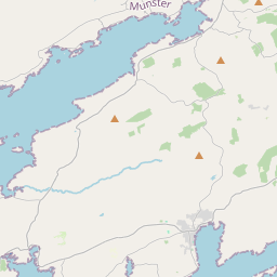

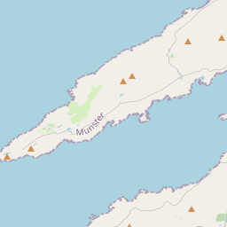
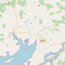
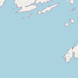
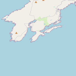
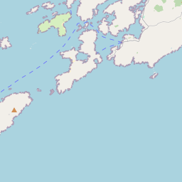
Leaflet | Map data © OpenStreetMap contributors
Area
Dunmanus has an area of 24.3 km² / 5,993.3 acres / 9.4 square miles.
Townlands
There are 15 townlands that we know about in . This represents 99.9% of all the area in .
- Ballyvonane 243 A, 0 R, 28 P
- Barnatonicane 263 A, 3 R, 16 P
- Carbery Island 30 A, 0 R, 26 P
- Dunmanus East 549 A, 3 R, 34 P
- Dunmanus West 583 A, 1 R, 12 P
- Furze Island 20 A, 0 R, 22 P
- Glan 1053 A, 1 R, 30 P
- Gorttyowen 259 A, 2 R, 6 P
- Horse Island 2 A, 2 R, 32 P
- Kilcomane 426 A, 3 R, 31 P
- Knockeens 236 A, 3 R, 39 P
- Lissacaha 779 A, 3 R, 39 P
- Lissacaha (North) 349 A, 2 R, 26 P
- Meenleenagoun 0 A, 2 R, 21 P
- Ratooragh 1185 A, 3 R, 16 P
 OpenStreetMap
Dunmanus was added to OpenStreetMap on 13 Jan 2017 by Teester.
- View
- Edit