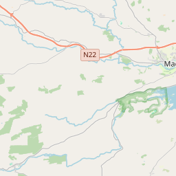
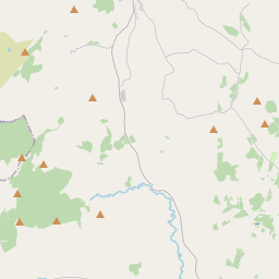
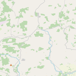
Based on data in OpenStreetMap, here is a list of townlands in the Electoral Division / ED / District Electoral Division of Inchigeelagh.
Inchigeelagh is in Co.
Inchigeelagh is not matched up to Logainm.ie yet.
Map
It is located at 51° 51' 25" N, 9° 5' 21" W.


Leaflet | Map data © OpenStreetMap contributors
Area
Inchigeelagh has an area of 25.6 km² / 6,332.5 acres / 9.9 square miles.
Townlands
There are 22 townlands that we know about in . This represents 100% of all the area in .
- Carrigleigh 244 A, 2 R, 24 P
- Carrignaneelagh 155 A, 0 R, 20 P
- Cloonshear Beg 181 A, 0 R, 9 P
- Cloonshear More 446 A, 1 R, 16 P
- Cooleen 350 A, 0 R, 13 P
- Coolnacrannagh 122 A, 0 R, 29 P
- Derreen 353 A, 1 R, 11 P
- Derryvane 348 A, 3 R, 15 P
- Dromcarra North 231 A, 1 R, 19 P
- Dromcarra South 275 A, 3 R, 3 P
- Glasheen 129 A, 1 R, 7 P
- Glebe 249 A, 2 R, 24 P
- Gortaveer 436 A, 2 R, 30 P
- Gortsmoorane 185 A, 0 R, 17 P
- Graigue 596 A, 3 R, 11 P
- Inchigeelagh 105 A, 2 R, 9 P
- Inchinaneave 366 A, 1 R, 26 P
- Inchineill 312 A, 0 R, 10 P
- Kilbarry 166 A, 0 R, 39 P
- Milleen 343 A, 1 R, 17 P
- Rossmore 492 A, 3 R, 17 P
- Teergay 239 A, 2 R, 23 P
 OpenStreetMap
Inchigeelagh was added to OpenStreetMap on 14 Jan 2017 by Teester.
- View
- Edit

 JOSM
JOSM iD
iD