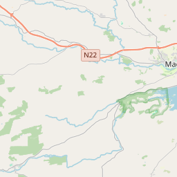
Based on data in OpenStreetMap, here is a list of townlands in the Electoral Division / ED / District Electoral Division of Macloneigh.
Macloneigh is in Co.
Macloneigh is not matched up to Logainm.ie yet.
Map
It is located at 51° 53' 24" N, 8° 57' 30" W.


Leaflet | Map data © OpenStreetMap contributors
Area
Macloneigh has an area of 30.7 km² / 7,577.1 acres / 11.8 square miles.
Townlands
There are 21 townlands that we know about in . This represents 90.5% of all the area in .
- Annahalabog 266 A, 3 R, 26 P
- Annahala East 220 A, 3 R, 16 P
- Annahala West 436 A, 1 R, 30 P
- Carriganine 119 A, 0 R, 15 P
- Coolcour 419 A, 2 R, 18 P
- Dromduff 393 A, 3 R, 34 P
- Farranavarrigane 171 A, 3 R, 12 P
- Gearagh East 64 A, 2 R, 22 P
- Gearagh West 37 A, 1 R, 0 P
- Gortyleahy 136 A, 2 R, 5 P
- Inchinashingane 506 A, 0 R, 18 P
- Inchisine 379 A, 0 R, 24 P
- Kill 225 A, 0 R, 23 P
- Kilnarovanagh 397 A, 1 R, 10 P
- Rockborough 114 A, 3 R, 19 P
- Teerbeg 177 A, 3 R, 29 P
- Toomsbog 122 A, 3 R, 15 P
- Tooms East 606 A, 1 R, 4 P
- Tooms West 597 A, 1 R, 27 P
- Tullatreada 349 A, 2 R, 28 P
- Ummera 1113 A, 3 R, 25 P
 OpenStreetMap
Macloneigh was added to OpenStreetMap on 19 Jan 2017 by Teester.
- View
- Edit

 JOSM
JOSM iD
iD