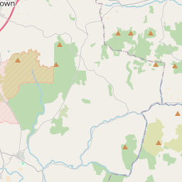
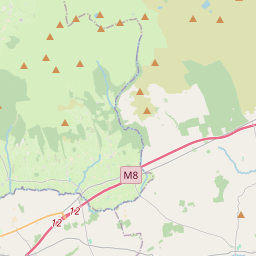
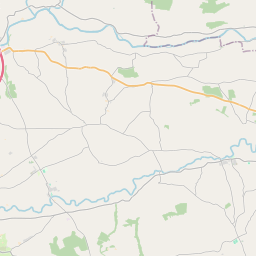
Based on data in OpenStreetMap, here is a list of townlands in the Electoral Division / ED / District Electoral Division of Mitchelstown.
Mitchelstown is in Co.
Mitchelstown is not matched up to Logainm.ie yet.
Map
It is located at 52° 15' 35" N, 8° 13' 47" W.


Leaflet | Map data © OpenStreetMap contributors
Area
Mitchelstown has an area of 61.4 km² / 15,179.8 acres / 23.7 square miles.
Townlands
There are 33 townlands that we know about in . This represents 100% of all the area in .
- Ardglare 241 A, 2 R, 25 P
- Ballinwillin 139 A, 3 R, 31 P
- Ballygiblin 192 A, 3 R, 14 P
- Ballykearney 207 A, 0 R, 7 P
- Ballynabrock 340 A, 0 R, 30 P
- Ballynamona 372 A, 0 R, 39 P
- Brigown 686 A, 1 R, 27 P
- Carrigane 800 A, 3 R, 24 P
- Carriganleigh 70 A, 3 R, 24 P
- Cloonkilla 197 A, 0 R, 34 P
- Cloonlough 304 A, 2 R, 23 P
- Coolnanave 402 A, 1 R, 4 P
- Coolyregan 578 A, 3 R, 12 P
- Corracunna 374 A, 0 R, 4 P
- Curraghavoe 944 A, 0 R, 23 P
- Curraghmore 522 A, 2 R, 26 P
- Furrow 424 A, 2 R, 34 P
- Garrane 487 A, 1 R, 5 P
- Garryleagh 183 A, 2 R, 38 P
- Glenatlucky 452 A, 1 R, 6 P
- Glenduff 1129 A, 2 R, 15 P
- Gurteenaboul 222 A, 0 R, 38 P
- Kildrum 410 A, 2 R, 21 P
- Killakane 821 A, 3 R, 8 P
- Kilshanny 377 A, 3 R, 3 P
- Knocknamuck 257 A, 2 R, 33 P
- Mitchelstown 838 A, 3 R, 27 P
- Parknakilla 150 A, 2 R, 35 P
- Pollardstown 491 A, 2 R, 38 P
- Skeheen 486 A, 2 R, 17 P
- Skeheen Upper 1204 A, 0 R, 36 P
- Stag Park 345 A, 3 R, 4 P
- Turbeagh 518 A, 0 R, 1 P
 OpenStreetMap
Mitchelstown was added to OpenStreetMap on 27 Jan 2017 by Teester.
- View
- Edit

 JOSM
JOSM iD
iD