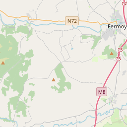
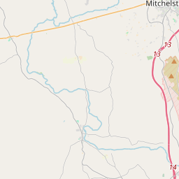
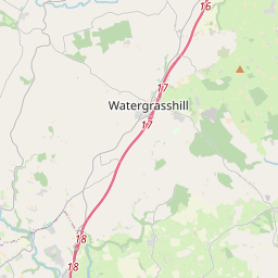
Based on data in OpenStreetMap, here is a list of townlands in the Electoral Division / ED / District Electoral Division of Rathcormack.
Rathcormack is in Co.
Rathcormack is not matched up to Logainm.ie yet.
Map
It is located at 52° 5' 3" N, 8° 18' 22" W.


Leaflet | Map data © OpenStreetMap contributors
Area
Rathcormack has an area of 28.7 km² / 7,080.5 acres / 11.1 square miles.
Townlands
There are 26 townlands that we know about in . This represents 100% of all the area in .
- Ballybrowney Lower 183 A, 3 R, 8 P
- Ballybrowney Mountain 239 A, 2 R, 34 P
- Ballybrowney Upper 166 A, 2 R, 13 P
- Ballynahina 890 A, 1 R, 26 P
- Barranahash 288 A, 0 R, 28 P
- Bridgeland East 45 A, 1 R, 5 P
- Bridgeland West 46 A, 1 R, 18 P
- Coolnakilla 1154 A, 2 R, 18 P
- Curraghprevin 496 A, 2 R, 1 P
- Curraghteemore 131 A, 1 R, 30 P
- Dromruagh 27 A, 3 R, 5 P
- Garrynacole 116 A, 2 R, 3 P
- Gneeves 70 A, 3 R, 19 P
- Kilbrien 217 A, 1 R, 15 P
- Kilshannig Lower 111 A, 3 R, 39 P
- Knockadroleen 43 A, 0 R, 31 P
- Knockauduff 203 A, 1 R, 27 P
- Lisnagar Demesne 487 A, 0 R, 37 P
- Loughaphreaghaun 80 A, 3 R, 37 P
- Maulane East 190 A, 1 R, 39 P
- Maulane West 221 A, 3 R, 1 P
- Mondaniel 605 A, 1 R, 8 P
- Rathcormack 175 A, 3 R, 18 P
- Rathcormack Mountain 459 A, 3 R, 36 P
- Terramount 138 A, 3 R, 23 P
- Toberaneague 285 A, 3 R, 24 P
 OpenStreetMap
Rathcormack was added to OpenStreetMap on 30 Jan 2017 by Teester.
- View
- Edit

 JOSM
JOSM iD
iD